GREAT BASIN NATIONAL PARK
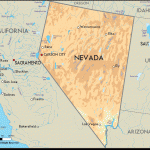
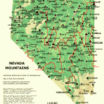
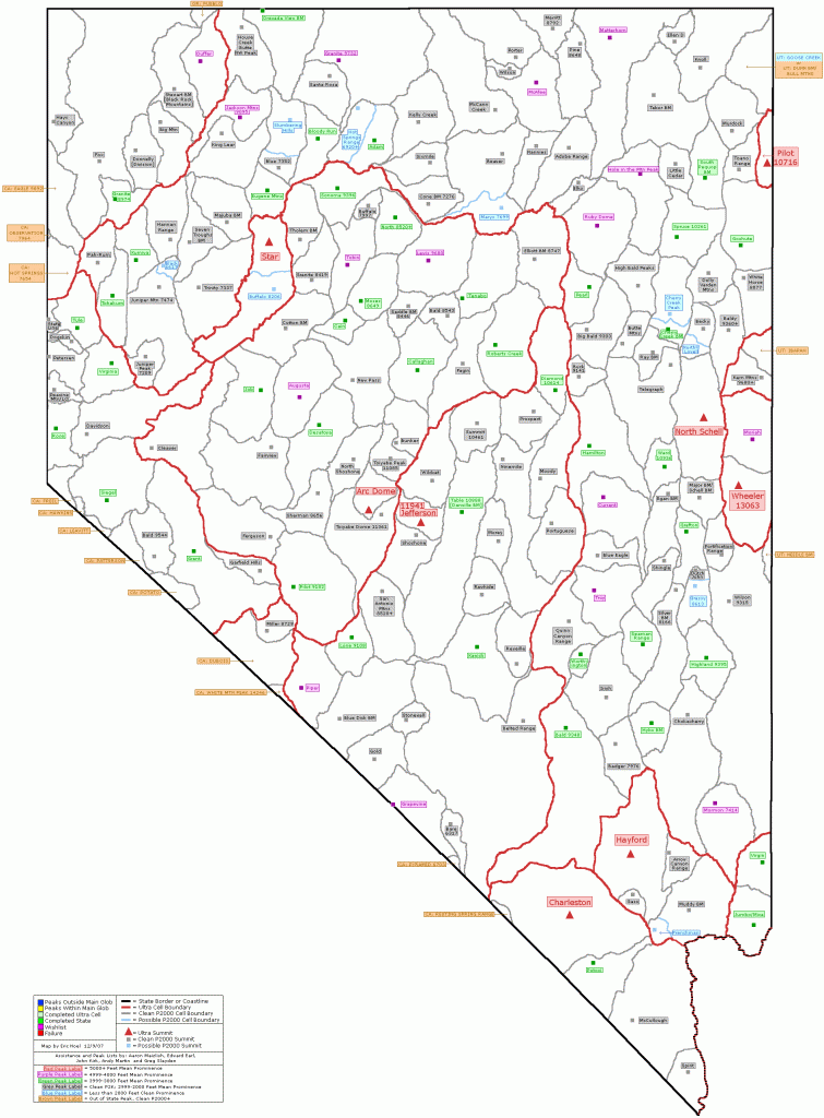
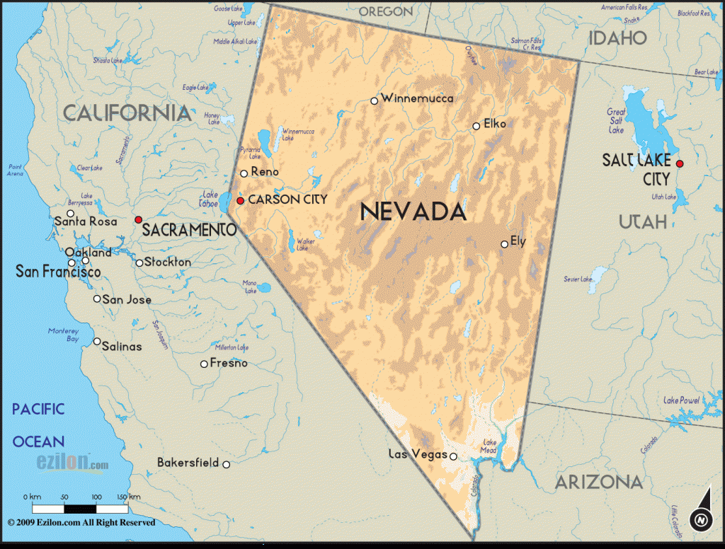
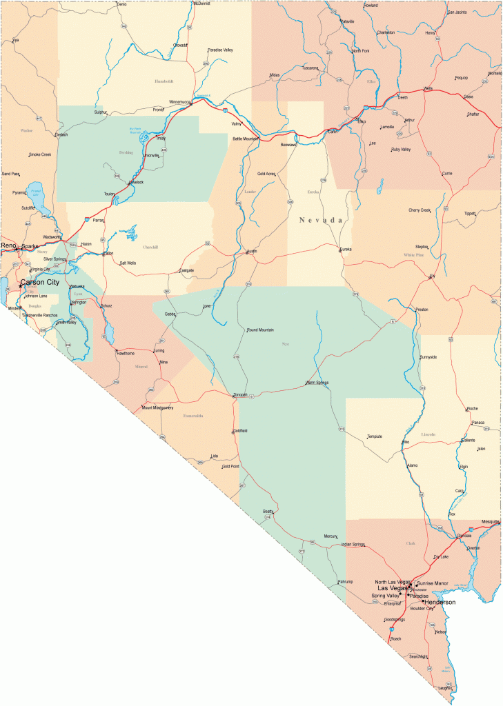
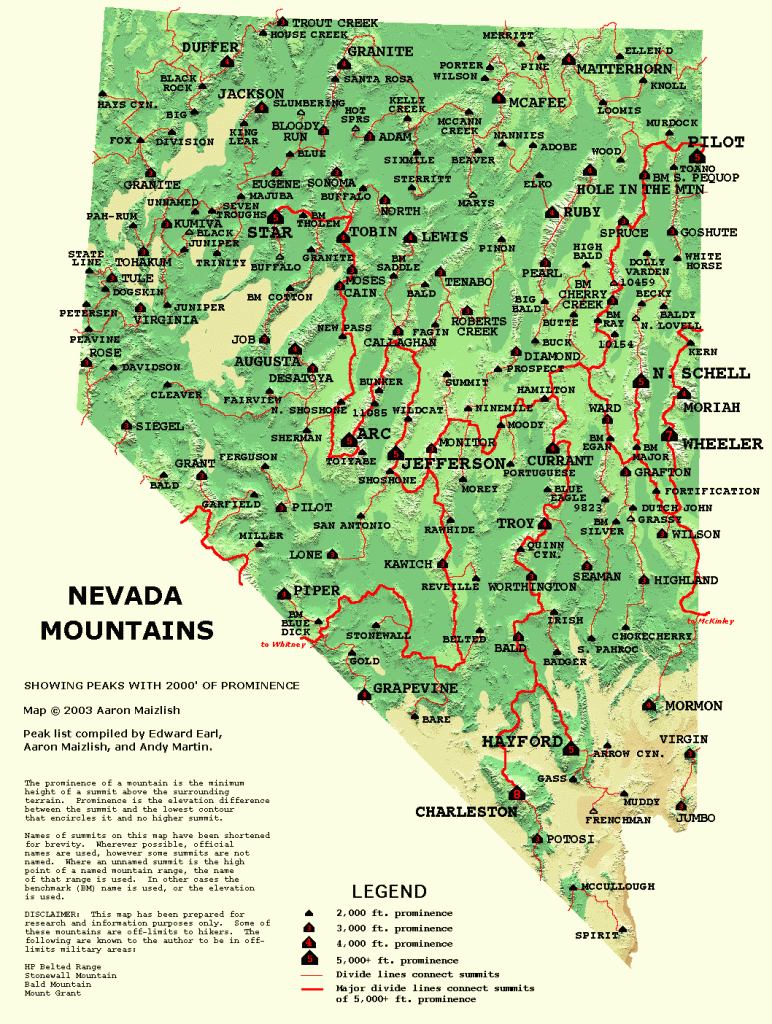
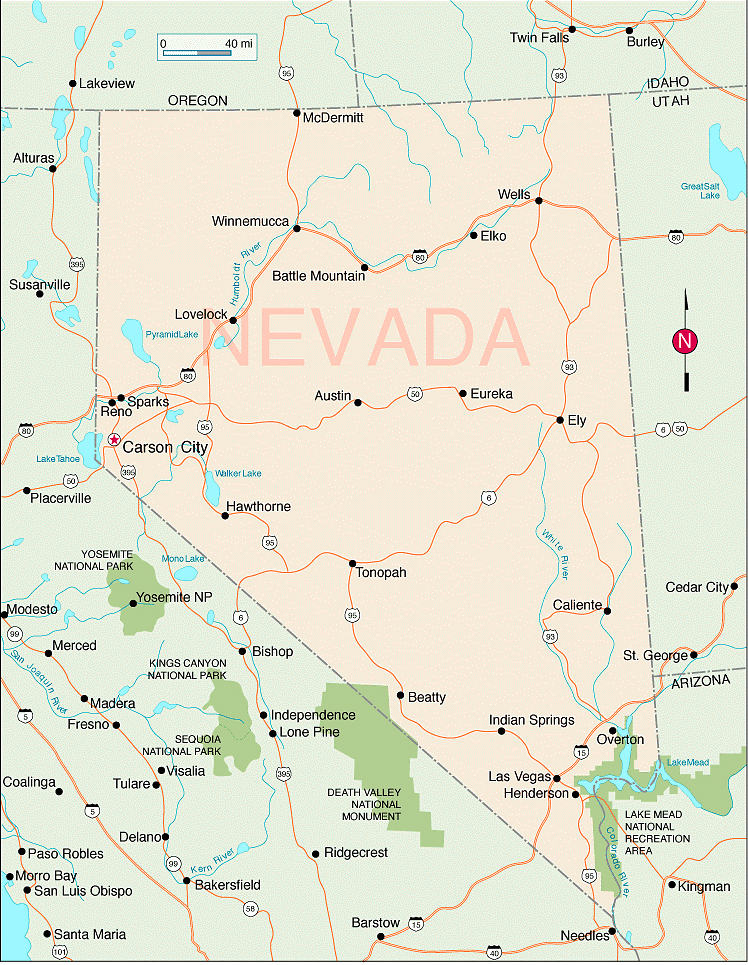
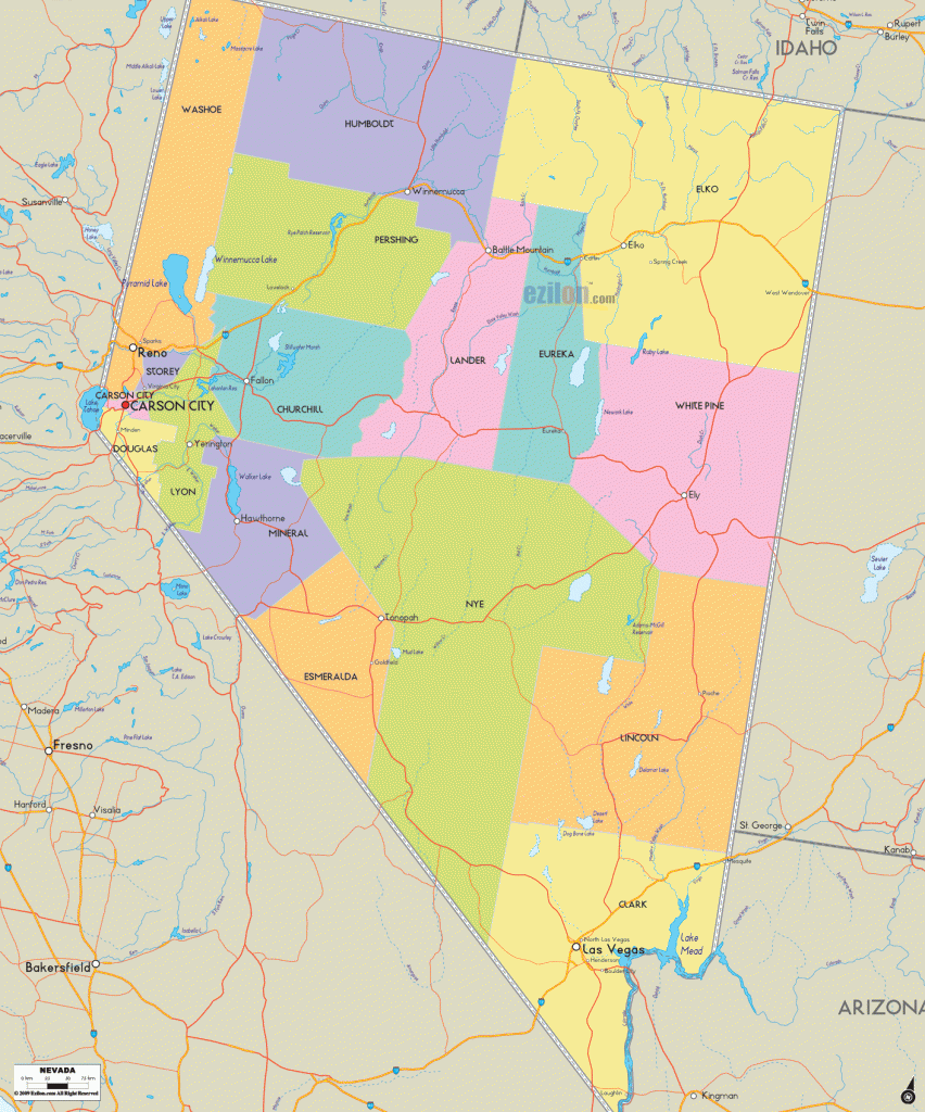
77,000 acres. Established in 1986 on lands which were previously part of Humboldt National Forest, this new National ?ark is located in the southern Snake Range, near the eastern border of Nevada. Among a number of high peaks here is 13,063-foot Wheeler Peak.
Scenery also includes limestone canyons and caves, rock outcroppings, and a small glacier. There are Douglas fir forests, along with spruce and aspen, stands of ancient bristlecone pine and limber pine, pinyon-juniper woodlands, and brush-ands.
Activities: Backpacking and hiking are available on about 25 miles of established trails. Crosscountry travel is possible but difficult in some areas due to vegetation and rugged terrain. Much of the park is only snow-free during the summer months.
Horseback riding is allowed on some trails. Cross-country skiing and snowshoeing are winter options on suitable trails and roads. Mountain bike use is restricted to roads. Fishing is permitted, but hunting is not.
Camping Regulations: Camping is allowed ttiroughout the backcountry here, and no permits are necessary. Registration at the visitor center is rscommended but not required.
All campsites should be below timberline, away f ‘om bristlecone pine groves, and at least 100 feet f’om water sources. Campfires are generally permitted but discouraged, and prohibited above
10,000 feet elevation.
For Further Information: Great Basin National Park, Baker, NV 89311; (702)234-7331.

