SILOAM SPRINGS STATE PARK
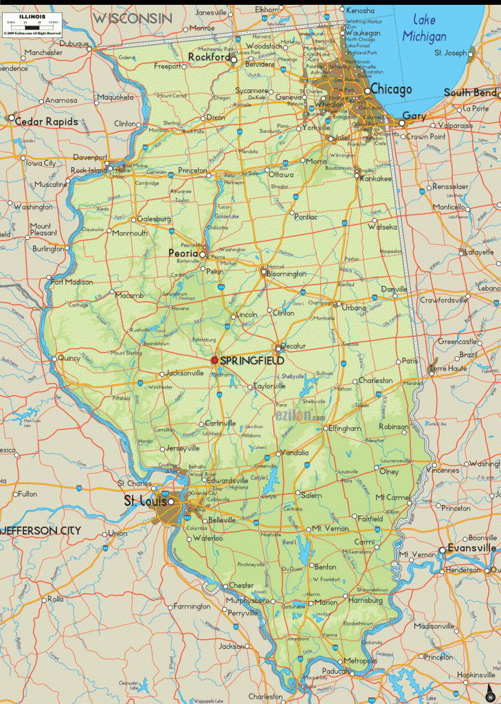
3,323 acres. Located in west-central Illinois, Siloam Springs State Park has wooded terrain with ridges, valleys, ravines, and a 58-acre artificial lake.
Activities: The park has 12 miles of easy to moderate trails for hiking and backpacking, including the 6-mile Red Oak Backpack Trail. In addition there are 23 miles of equestrian trails, and a 4-mile trail is used for cross-country skiing in winter. Canoeing is available on the lake, and canoes may be rented in the park. Fishing is possible, and hunting is permitted in season.
Camping Regulations: Primitive camping is limited to four designated sites along the Red Oak Backpack Trail. A permit must first be obtained from the park office. Campfires are allowed in established fire rings.
For Further Information: Siloam Springs State Park, RR 1, Box 204, Clayton, IL 62324; (217)894-6205.

