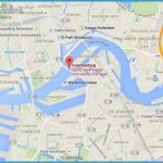
ERASMUS BRIDGE MAP
To meet multiple demands, the Erasmus combines three bridgescable-stayed, viaduct, and basculein one.
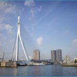
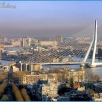
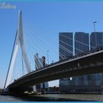
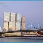
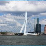
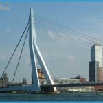
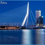
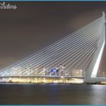
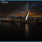
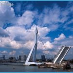
The Erasmus Bridge, Ben van Berkel’s glorious arching portal over the Maas River, operates as a vital connector between the two halves of the Dutch city of Rotterdamthe civic institutions on the north bank and the ambitious urban regeneration scheme known as the Kop van Zuid to the south. Its robust, asymmetrical form is actually three bridges in one. The combinationa cable-stayed bridge with a main span of 918 feet (280 meters), a side span viaduct, and a bascule bridgeindicates the multitude of urban, technical, and design considerations that figured in its construction.
Rotterdam, left a blank slate by World War II, determinedly rebuilt itself, powered by a plan devised in 1946 for the reconstruction of its inner city. Contemporary architecture, high-rise buildings, wide boulevards, and the pioneering reuse of old harbor basins and quays are the hallmarks of the city today. Since Queen Beatrix opened it in September 1996, the bridge has presided over Rotterdam’s energetic transformation. Through gaps in the urban fabric, the [Erasmus Bridge] slides unexpectedly into view, the hooked pylon grey-blue against the sky, the ultra-tin parapet sweeping towards terra firma.
ERASMUS BRIDGE MAP Photo Gallery
The design of the sky-colored bridge presented a number of challenges. An enormous jigsaw of unique structural elements, the bridge contains virtually no straight angles. It would have been impossible to create without the help of computer technology. The precocious van Berkel (1957-), an Amsterdam-based architect, designed the bridge, its lighting, and a number of its surrounding facilities. It was engineered by City of Rotterdam Public Works.
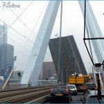
Although most major harbor activities lie closer to the sea, there are a number of shipbuilding and maintenance industries upstream from Rotterdam. Consequently, the harbor authorities required that the Erasmus Bridge have a navigational channel, which is provided by a remarkable single-leaf bascule bridge. Apart from its sheer sizewith a 172-by-117-foot (52-by-36-meter) movable bridge deck, it is one of the largest of its kind in the worldthere are other features that make this portion of the bridge unique. Most eye-catching is the oblique 67-degree angle of the shipping channel: in its open position the parallelogram-shaped bridge deck tilts sideways, rather than straight up and down. To accommodate the public rail lines running over the bridge, the bascule also operates quickly, taking a total of four minutes to open and close.
The 466-foot (142-meter)-high “knee-bend” pylon, nicknamed “the Swan,” is a Twenty thousand people a day cross the 108-foot (33-meter)-wide bridge deck, which carries twin tram lines for public transportation, two double traffic lanes, and free lanes for cyclists and pedestrians. “We have touchdown.”

