County: Nordland fylke.
Altitude: sea level. Population: 32,000.
Postal code: N 8000. Telephone code: 0 81.
Bod0 Reiselivslag,
Storgate 16; tel. 2 12 40.
HOTELS. SAS Royal Hotel, Storgate 2, 380 Grand Hotel, Storgate 3, 70 Norrona, Storgate 4, 1 70 Central Turiststation, Schyttesgate 6, 56 b. YOUTH HOSTEL: Flatvoll, Ronvikkrysset, 132 b.
CAMP SITE. Bodosjoen Camping, 3 km (2 miles) from the middle of the town (with huts).
RECREATION and SPORTS. Fishing; motorboat rental for game fishing; riding.
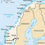
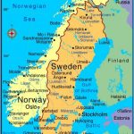
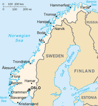
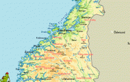
The Norwegian port of Bodo, chief town of the county of Nordland, lies in the Saltfjord, N of the Arctic Circle. The sun does not set here between the beginning of June and the middle of July. The town received its municipal charter in 1816, but its development was slow until the second half of the 19th c. when the herring fisheries gave it a boost.
During the Second World War, Bodo suffered severe damage in the fighting of May 1940 and almost the whole central area of the town was destroyed by fire. Rebuilt in modern style, it is now a lively commercial town, with a number of factories, a shipyard and several technical colleges.
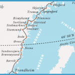
Bodo is linked by road to Fauske, on the important European highway E6. There are two trains daily to Bodo on the Nordland railway from Trondheim, extended to here in 1 962. The fast ships of the
Harbour and SAS Royal Hotel, Bodo Hurtigrute from Bergen to Kirkenes dock at Bodo; and there is an air-strip linking the town with the Scandinavian network of air services.
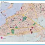
SIGHTS. In Rcidhusplassen is the Town Hall, completed in 1 959, from the tower of which there are panoramic views. The nearby Cathedral (Domkirke, 1956), with a separate tower, contains fine stained glass by Aagen Storstein. To the S of the Cathedral is the Nordland County Museum (Nordland Fylkesmuseum), with sections devoted to agriculture, local crafts and the fisheries as well as prehistoric and medieval material.
SURROUNDINGS. 3 km (2 miles) E of the town centre is the old stone-built church of Bodin (12thc.), with a Baroque altarpiece (1 670). Louis-Philippe, Duke of Orleans (king of France 1830-48), stayed in the presbytery on his journey to the North Cape in 1796.
4 km (2 miles) N is the Renvikfjell (155 m (509 ft): mountain hut), with panoramic views. From here it is a two hours’ walk on a marked footpath to the top of the
Lopsfjell (603 m 1 978 ft). Here is a good view of the Lofoten Islands 100 km (60 miles) away. To the E can be seen the glacier-covered Sulitjelma (1913 m 6277 ft), 90 km (55 miles) away on the Swedish frontier, and to the left of this the BlSmannsis with its snowfields rising to 1 571 m (51 54 ft).
40 km (25 miles) NE of Bodo (bus: Road 834, with one ferry) is the old trading post of Kjerringoy, with an open-air museum (old buildings, with furnishings).
An expedition of some 35 km (22 miles) can be made S from Bodo to the Saltstraumen, a strait 2-5 km (lmiles) long, some 1 50 m (1 60yds) wide and upto 50 m (165 ft) deep between the islands of Straumen and Straumoy. It links the Saltfjord with the Skjerstadfjord. The movement of the tide forces some 370 million cubic metres (80,000 million gallons) of water through this narrow passage, creating whirlpools and eddies. Good fishing.
Bodo is also one of the ports providing access to the Lofoten Islands ( 179).

