Category: Maps
Whether you travel for business or pleasure, alone or with friends or family, each trip brings with it new experiences and memories. Perhaps you are planning an around-the-world expedition …
Books longer than Ulysses have been written in an effort by heretofore sane men to understand, through the catharsis of that subtle therapy that occurs between a man and …
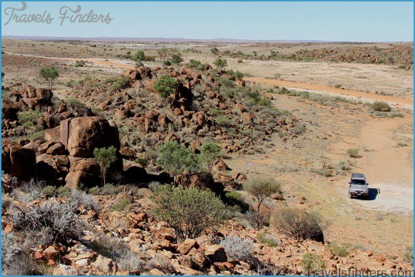
STURT NATIONAL PARK TOURISM NSW This one’s a little outside of the comfort zone for a lot of Sydneysiders, and certainly not the spot for an overnight jaunt, but …
KAKADU NATIONAL PARK DARWIN TOURISM NT Perhaps the Territory’s most well known attraction, Kakadu’s reputation soars far and wide. While an international tourism destination in its own right, Kakadu …
NOW AVAILABLE AUSTRALIA WIDE Let me tell you folks, those wild stories of the great fishing up north are spot on The boys and I headed out on a …
KINGS CANYON FREE CAMP AUSTRALIA Why the free camp and not the canyon itself? Well, I assume that if you make it this far, you won’t miss out on …
Many people do not know, but there are plenty of wonderful things to enjoy in Puglia during the Christmas holiday season. In the period from Immacolata on December 8 …
Udaipur, also known as the City of Lakes’, is an amazing tourist destination in Rajasthan. It is renowned for itsspectacular forts, beautiful lakes, splendid palaces, museums and colourful culture. …


