
RECREATION and SPORTS. Fishing from the pier and from rowboats, deep sea-fishing, climbing, shooting.
ACCESS. By boat from Bodo (6 hours), Skutvik (2 hours) or Narvik (9 hours) to Svolvaer. The coastal steamers also dock at the Lofotens. Air services from Bodo and Evenes (Narvik) to Svolvaer and other places.
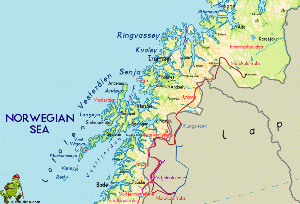
The Lofotens are a chain of hilly islands some 150 km (90 miles) long strung NE to SW and separated from the mainland by the Vestfjord, which is some 80 km (50 miles) wide at its broad southern end. The four large islands of Austvagoy, Vestvigoy, Moskenesoy and Flak-stadoy, together with a number of medium-sized islands, lie so close together that from the distance they appear to be a single long jagged range of hills. The main islands are surrounded by smaller islets, and have numerous inlets and fjords with rock walls up to 1000 m (3280 ft) high. The mountains are of Alpine type with characteristic steep-sided summits (highest point 1266 m 4154 ft), bare and sometimes snowcapped.
The first Commando raid on enemy-occupied territory was made on four fishing villages of the Lofotens in March 1941 and the reprisals taken by the’ Gestapo virtually created the great Norwegian Resistance movement. A second landing was made at Reine in the outer Lofotens in December 1 941, the intention being to remain throughout the winter and harass the German iron-ore boats sailing from Narvik and so aid the resistance on the Finnish front. However, the bombing of Pearl Harbor made it necessary for the force to withdraw, taking with it as many civilians as possible to Scotland to save them from German reprisals which is why many of the people in the Lofotens today speak with a Glaswegian accent.
There are few trees. Near the coasts of the islands are bogs, lakes, pastureland and some areas of arable land. The climate is wet, but mild in winter. The main sources of income are fishing and its associated industries; there is also a certain amount of sheep-farming; mink-farming has been introduced recently. The summer vacation trade also makes a contribution to the economy of the islands, and fishermen’s huts (rorbuer), either old-style (with very few amenities) or modernised, can be rented at astonishingly low rates.
The chief town in the Lofotens and the administrative headquarters of the islands is Svolvaer, on the S coast ofthe island of Austvagoy (Lofoten Nordic Hotell, 98 Havly, 75 youth hostel), with a normal population of 4000, which greatly multiplies during the fishing season. It is the main fishing port in the islands, the hub of communications and the principal commercial area. On Svinoy is the
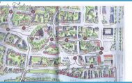
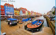
Lofoten Islands Norway Map Photo Gallery

