
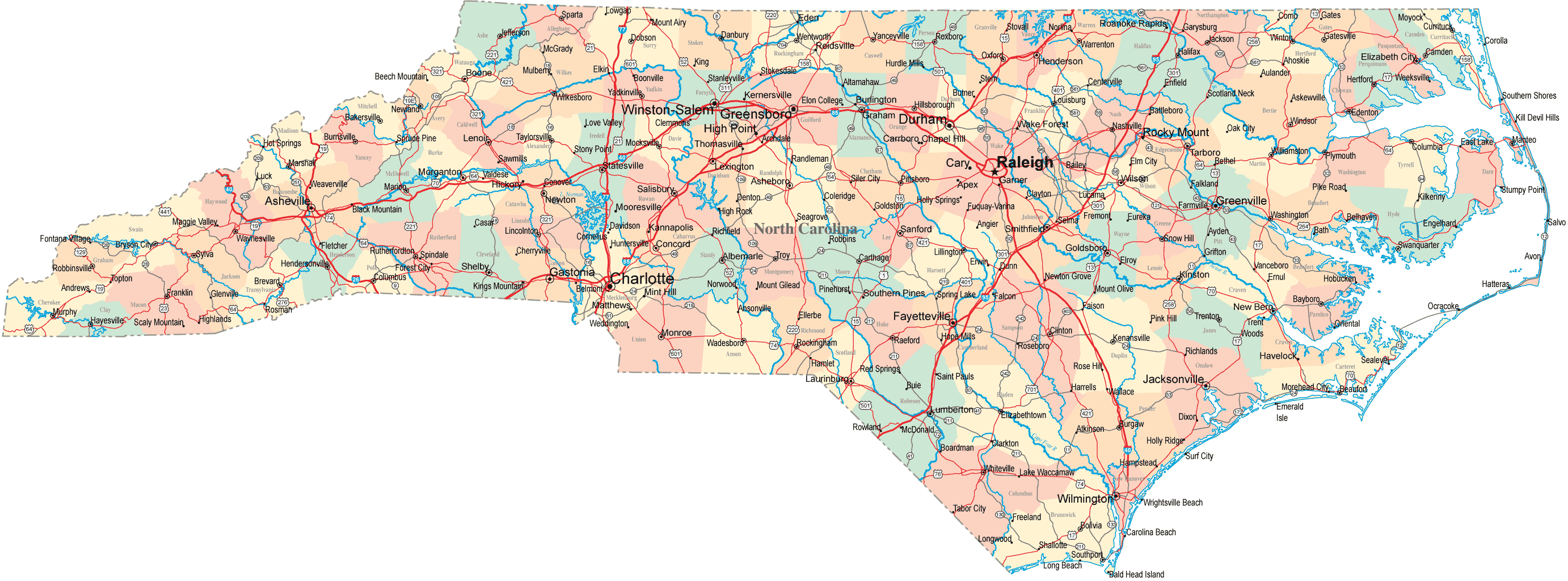
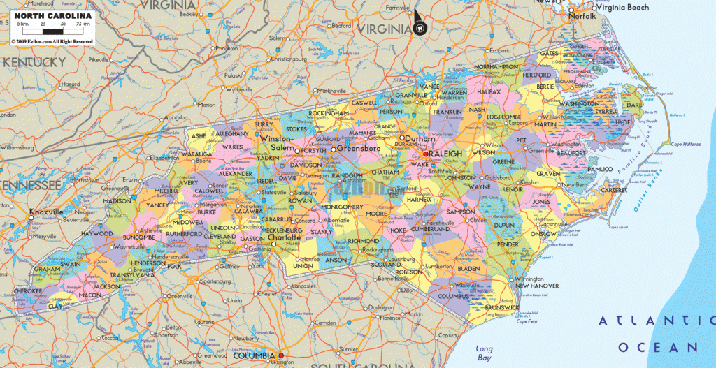
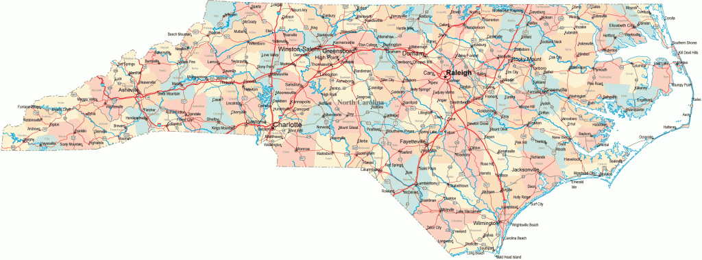
CAPE LOOKOUT NATIONAL SEASHORE
Cape Lookout National Seashore is comprised of a series of undeveloped barrier islands stretching 55 miles along the coast of North Carolina, just south of Cape Hatteras National Seashore. Access is by ferry or private boat.
Scenery here includes sandy beaches, dunes, areas of salt marsh, grasslands, and maritime forest. The National Seashore has one designated wilderness area, consisting of the island of Shackleford Banks.
Activities: There are no established trails, but one may hike along the island beaches. Canoeing is possible around the islands. Fishing is also available, and hunting is permitted in season.
Camping Regulations: Camping is allowed almost anywhere, except near historic (now-deserted) Portsmouth Village or by a lighthouse. There are no designated sites, and permits are not required. Campfires are allowed only on beaches, below the high tide line. Firewood is very scarce. A stove is recommended.
For Further Information: Cape Lookout National Seashore, 3601 Bridges Street, Suite F, Morehead City, NC 28557; (919)728-2250.


