Province: Guangdong
Area: 327.5sq.km/126sq. miles. Population: 1,000,000
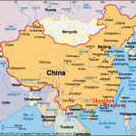
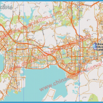
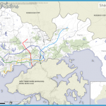
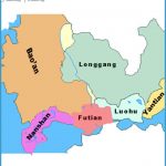
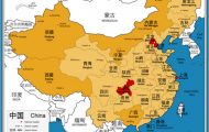
Bordering on Hong Kong, Shenzhen lies at 114°04’E and 22°31’N, 140km/ 87 miles to the south of the provincial capital of Canton, in the midst of beautiful scenery.
From Canton and Hong Kong the city can be reached by bus and train, in addition to which there is a hydrofoil service between Hong Kong and Wenjindu (Shenzhen’s port).
Until 1979 Shenzhen was only a small village with a few streets, four factories and about a dozen shops. Then the central government transformed it into a special centre for trade and industry, which led to an economic boom. The signs of rapid growth are everywhere. Old districts are being demolished and new buildings appear almost out of thin air -shopping and office complexes, as well as numerous hotels and holiday villages catering for the increasing flow of tourists – with inevitable consequences for the cityscape.
In this beach park, which extends over 20km/12 miles to the east of the city on the banks of Dapeng Bay, the best known of the Chinese natural and architectural monuments have been reproduced. In addition, in the adjacent Cultural Folk Village, miniature villages of nearly all the 56 Chinese nationalities have been set up.
The park has also been equipped for bathing, and holiday houses can be rented in the immediate vicinity.
32km/21 miles to the north-west of Shenzhen, on the banks of the Xili lake, is the Xili holiday village which is surrounded by a covered walk. It includes a place for barbecues, a rifle range, a revolving restaurant situated on a beautiful slope and several secluded villas.
Included in the attractions ofthe holiday village are Unicorn Hill (Qiling-shan) and the Water Paradise (Shuishang Leyun).

