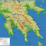
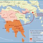
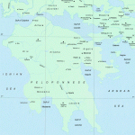
Ancient Sparta began as a collection of villages, so (scanty) remains are relatively scattered. A car is recommended. Mycenaean Sparta and the Menelaion at Therapne lie on a bluff east of the Eurotas River. A track (15 minutes walk), signposted on the Yeraki road, leads past the chapel of Agios Ilias (on the site of a Temple of Apollo). The views are stunning. Another contender for Menelaus and Helen’s Sparta is Pellana, 27 km (17 miles) north of modern Sparti. A complex of rock-cut tholos tombs includes one apparently with a carving of a heraldic lion. The discovery of a further Mycenaean palace in 2015 near the village of Xirocampi south of Sparti may have a significant impact on our understanding of the period.
Sparta Map Photo Gallery
Most of Classical and Roman Sparta lies on a low acropolis behind the modern sports stadium. It includes a Roman theatre and the Temple of Bronze-Housed Athene . By the banks of the Eurotas, near the bridge leading north from Sparti, are the still-atmospheric foundations of the Sanctuary of Artemis Orthia, complete with Roman seating.
Little remains at Amyclae, on the road south to Gytheion, but the site is romantic. To the west of Sparti, the Parori Gorge may be where Spartans exposed unwanted babies. Just to the north of this the Byzantine city of Mistra boasts beautifully frescoed churches and an impressive castle. In the summer this site, on a steep slope with little shade, can be arduous to visit.
Among the exhibits at Sparti’s Museum are an archaic relief of Helen and Menelaus from Amyclae; a fifth-century BC (weathered) marble torso of a warrior, believed to be Leonidas; a Roman mosaic of Alcibiades, the traitorous ffth-century BC Athenian politician; and masks and sickles from the Sanctuary of Artemis Orthia.

