Yakima Research Station, Yakima
The only “research” going on here is snooping into traffic carried by communications satellites over the Pacific and North America. If you’ve made a phone call, sent a fax, or otherwise used a communications satellite covering the Pacific Ocean area recently, odds are it was intercepted here for “intelligence analysis.”
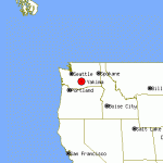
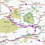
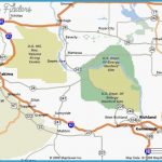
The Yakima Research Station is located on the western edge of the U.S. Army’s Yakima Firing Range. Its stated mission is to “perform communications research and development in support of the Department of Defense,” but this is actually the main listening post used by the National Security Agency to monitor communications from satellites over the Pacific. The Federal Communications Commission has created a “special exclusion zone” at this site and for the surrounding area; the “special exclusion zone” bans all civilian terrestrial use of those radio frequencies on which spy satellite data is received. This facility is located between the Saddle Mountains and Rattlesnake Hills and has an unobstructed view of the western “radio horizon.” In addition, this facility is used to monitor communications from satellites over central and eastern North America.
What’s There: The most visible structures are nine large dish antennas. One antenna is significantly larger than the others. A few small, win-dowless white buildings, one or two stories in height, are scattered among the antennas.
Getting a Look Inside: Trespassing is prohibited anywhere on the Yakima Firing Range.
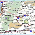
Getting There: The best view of this facility is obtained from Interstate 82 north of Yakima between the eastbound and westbound rest areas; look to the east.

