Iowa Map
UPPER MISSISSIPPI RIVER NATIONAL WILDLIFE AND FISH REFUGE
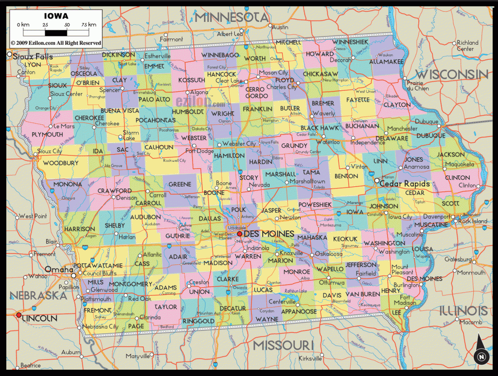
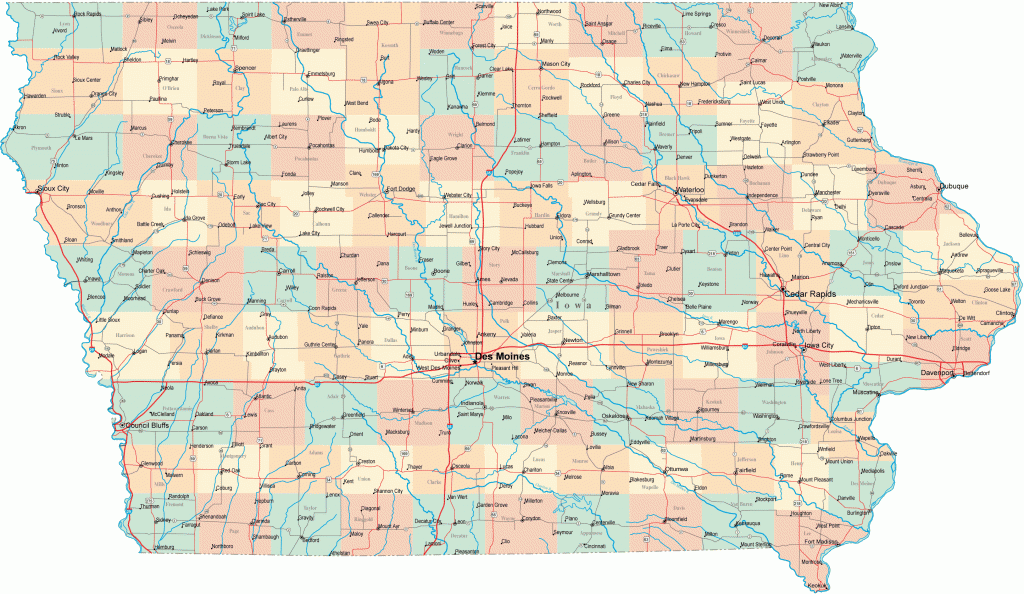
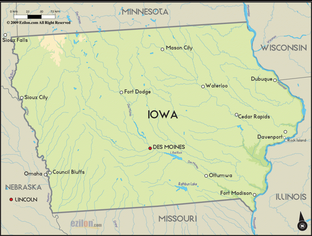
This 200,000-acre National Wildlife and Fish Refuge protects 284 miles of the Mississippi River in four states. Offering a corridor of two to five miles wide, the refuge includes wetlands, islands, and river shoreline with some high cliffs and beaches.
The area is not in a wilderness condition, and highways often run close by the river, which has many dams and locks. It nevertheless helps preserve a diverse wildlife which includes whitetailed deer, coyote, fox, and bald eagle.
Activities: Canoeing and other boating are possible on the river, as is fishing. Hunting is permitted in season. There are no maintained foot trails.
Camping Regulations: Primitive camping is allowed for up to 14 days on the islands, on sandbars along the shore, and anywhere not posted as closed to camping. Campfires are permitted.
For Further Information: Upper Mississippi River National Wildlife and Fish Refuge, P.O. Box 460, McGregor, IA 52157; (319)873-3423.
Also, a single backpacking campsite is available along one trail in Iowa’s 8,772-acre Shimek State Forest, in the southeast corner of the state. Registration is necessary but no fee is charged. For further information contact Shimek State Forest, Route 1, Farmington, IA 52626; (319)878-3811.

