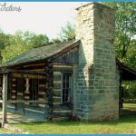
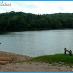
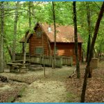
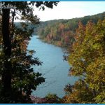
17,152 acres. Situated next to a huge artificial lake in southcentral Missouri, this is Missouri’s largest state park. It includes rocky hilltops, sheer bluffs, and i number of caves, with oak-hickory forest. Deer ire among the wildlife. An arm of Lake of the Ozarks extends through the park. There’s also a small wilderness area, the 1,275-acre Patterson Hollow Wild Area.
Activities: The park has 23 miles of trails for hiking, horseback riding, and mountain biking. Backpacking is allowed on one trail only, the 6-mile Woodland Trail, which loops through the Patterson Hollow Wild Area.
Camping Regulations: Camping is allowed for backpackers only along the Woodland Trail. Registration is required at the park office or trailhead. There’s a single designated camping area which may be used. Other campsites along the trail must be at least 100 feet from the trail, 200 feet from public use areas, and one-quarter mile from entry points. Campfires are prohibited.
For Further Information: Lake of the Ozarks State Park, P.O. Box C, Kaiser, MO 65047; (314)348-2694.
Missouri also has a number of state forests and w ildlife areas of various sizes. These are generally u sed for hunting, fishing, and other recreational activities. Primitive camping is allowed in some the larger areas. For more information contact tHe Missouri Department of Conservation, P.O. Box 180, Jefferson City, MO 65102; (314)751-15.

