
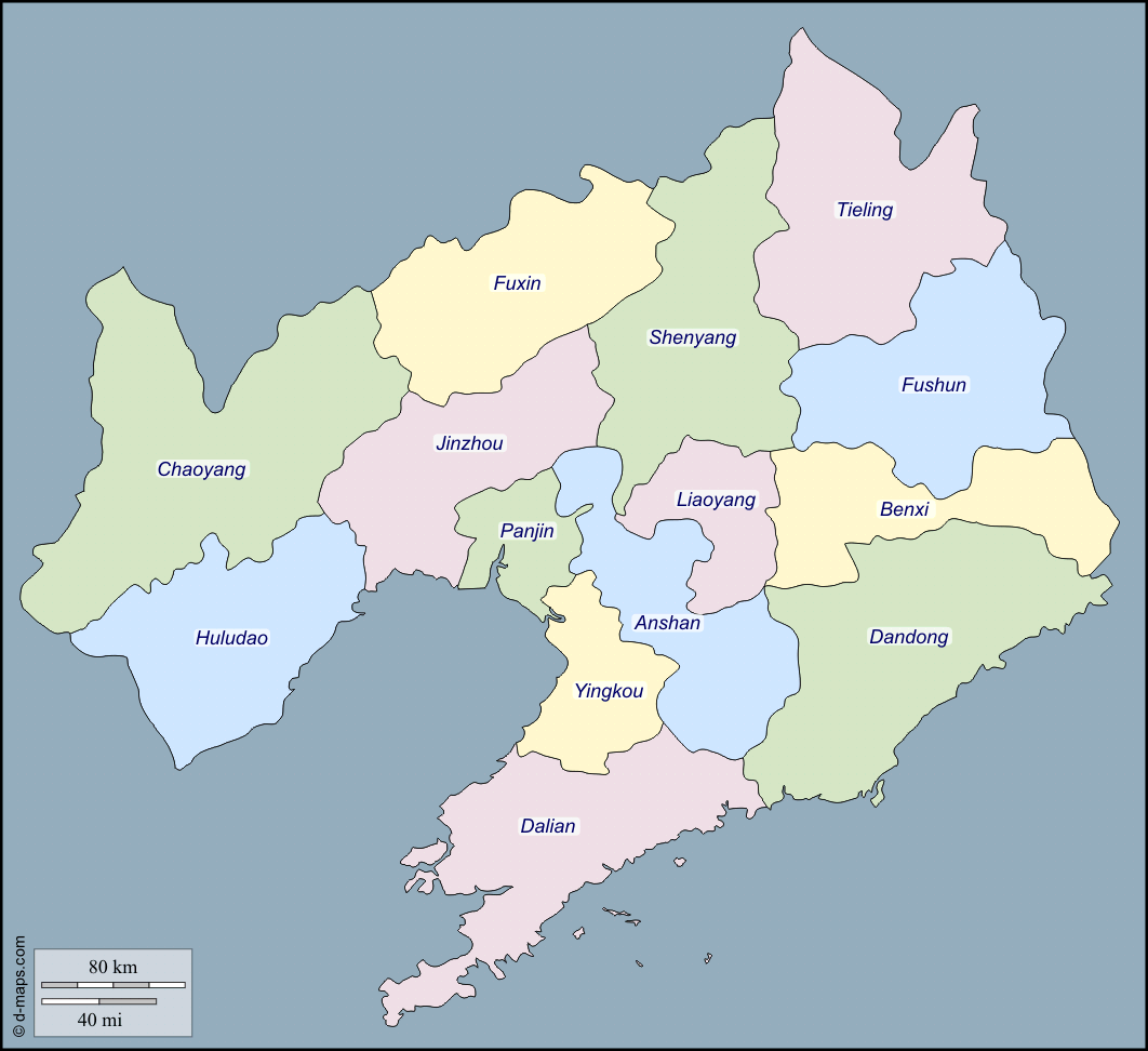
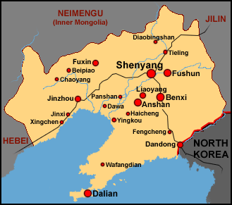
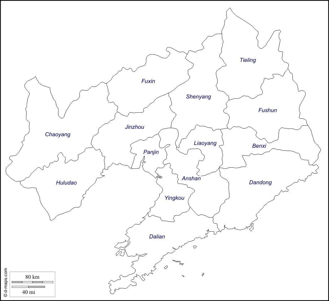
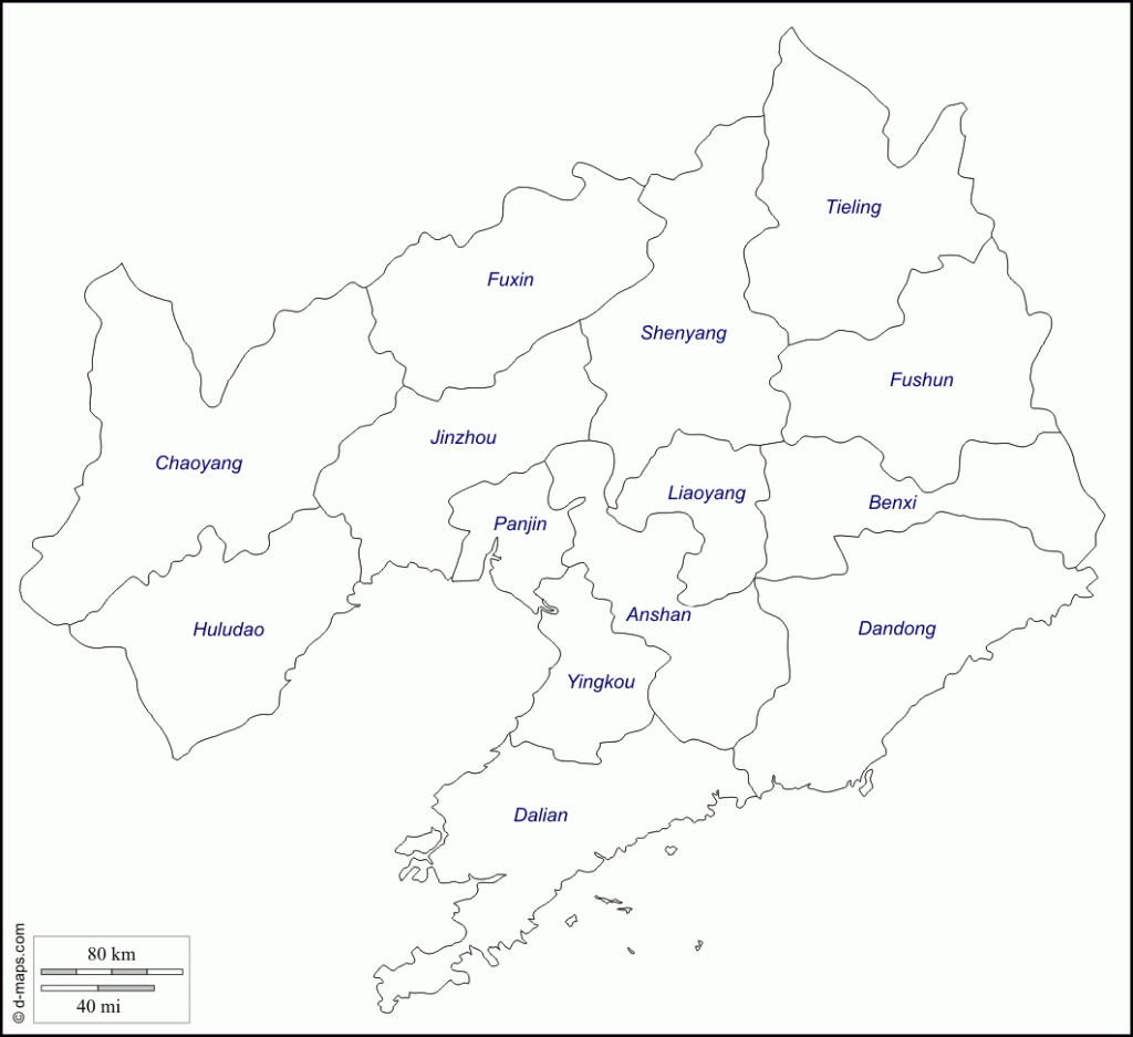
Province
Area: 145,700sq.km/56,255sq. miles Population: 39,900,000. Capital: Shenyang
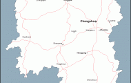
The province of Liaoning lies between 118°53′-125°46’E and 38°43′-43°26’N in the southern part of north-east China.
The overwhelming majority ofthe population are Han Chinese. More than two thirds of the minorities consist of Manchurians, but there are also Koreans, Hui and Mongols.
The eastern part of the province, including the Liaodong peninsula, is almost completely taken up with the wooded Changbai massif. The west consists of hilly countryside, rising in the north-west to the Great Chingan at over 2000m/6500ft. Between these two areas of elevation lies the plain of the Liaohe, occupying over 30% ofthe land area ofthe province.
The climate has a continental character but this effect is tempered by monsoons. The overall average temperature for the year is 8°C/46°F, while in Shenyang average temperatures for January and July are -13°C/9°F and 25°C/77°F respectively. There are often as many as 200 days a year when frost is experienced, while three-quarters of the annual rainfall occurs between June and September.
The plain ofthe River Liaohe was settled from a very early date, while in the peripheral areas Manchurians and Mongols practised livestock farming and forestry. In the course of time more and more Han Chinese migrated into Liaoning. During the 19th c. foreign powers were particularly interested in the rich mineral potential ofthe province. Between 1932 and 1945 it formed part of the Japanese-controlled state of Manzhouguo. Since 1949, with the expansion ofthe industrial base, there has been particular emphasis on heavy industry.
Rich mineral deposits enabled the present-day dominance of heavy industry to develop during the period of Japanese occupation. In addition there are the traditional textile and food industries. Liaoning also has reserves of coal and iron ore, as well as magnesite deposits and supplies of copper, lead, zinc and molybdenum ore.
Energy supplies are ensured through thermal power stations and a hydro-electric power station at Yalujiang which is shared with North Korea.
In the agricultural sector the staple foods grown are kauliang, millet and maize, while the province is also an important producer of cotton and tobacco. On the Liaodong peninsula silkworm breeding and fruit-growing (especially apples) are important activities.
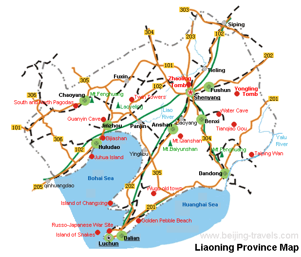
For the visitor Dalian, Anshan and Fushun (see entries) are of interest.
Liaoning Map Photo Gallery


