
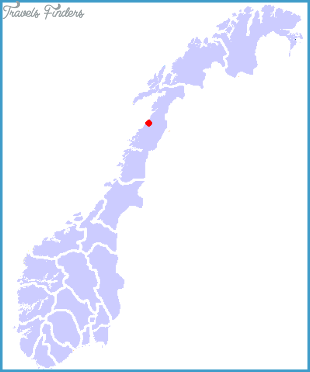
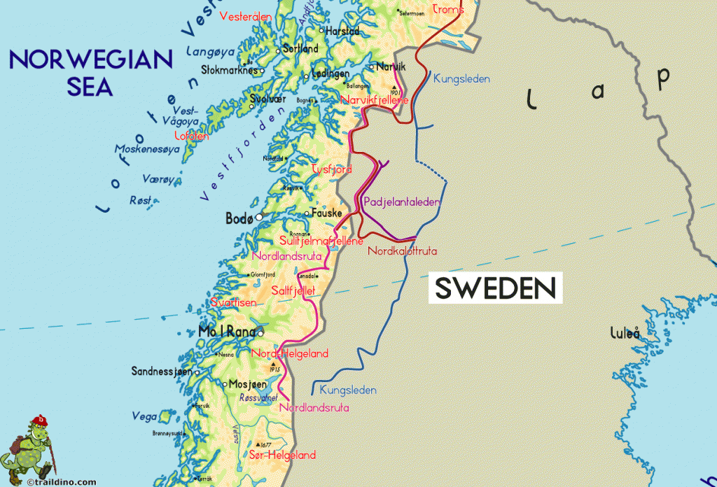
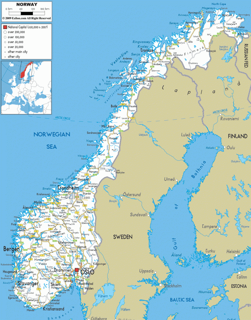
County: Nordland fylke.
Altitude: sea level. Population: 12,000.
Postal code: N-8600. Telephone code: 0 78. Turistkontor,
Jernbaneplassen; tel. 5 04 21.
HOTELS. Meyergarden, 250 Holmen, 50 SB; Mofjell Turistgard, 120 Williams Gjestgiveri, 17 b.-YOUTH HOSTEL-Two CAMPSITES.
SPORTS and RECREATION. Fishing.
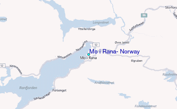
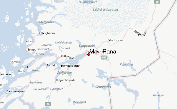
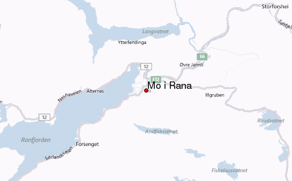
Mo i Rana is a busy industrial and commercial town at the E end of the Nordranafjord. The town is dominated by the steelworks and rolling mills of the Norsk Jernverk Company, which primarily uses iron ore from the Dunderlandsdal.
SIGHTS. The steelworks to the NE of the town are open to visitors during the holiday season. The church, in the middle of the town, dates from 1832 (altarpiece, 1 786). Near the station, on the W side of the town, stands the Municipal Museum (history of the town, crafts, mining, geology). Nearby is the Stenneset open-air museum. Above the town, to the S, rises the Mofjell (41 0 m 1 345 ft), with a cabin cableway to thetop; there are magnificent views (particularly toward sunset) of the town and the Svartisen glacier.
SURROUNDINGS. E6 runs NE from the town, through beautiful scenery and in 2-5 km (1£ miles) crosses the Rana. There is a salmon-ladder in the river at Reinforshei.
Rossvoll (13 km 8 miles) has a small circular wooden church. Here a road goes off on the left, passes the Mo airport and, in 1 0 km (6 miles), comes to Grenli. A footpath (800 m amile) leads to Gronli farmhouse; nearby is a cave.
The Gronli cave (1200 m (1300 yds) long) is the most famous of the 120 caves discovered in this area. There are conducted tours of the cave (visitors should walk with great care, since the path is not always good).
The road ends in 32 km (20 miles) at the Svartisvatn, above which rear the great snowfields and glaciers of Svartisen. The lake is crossed by motorboat; it is then 45 minutes’ walk to the foot of the glacier.
Svartisen (Black Ice”) is the second largest glacier area in Norway (about 460 sq. km 180 sq. miles). The plateau lies at an average height of 1200-1400 m – 3900-4600 ft), with individual peaks rising above this level, including Snetind (1 599 m 5246 ft), Sniptind (1591 m 5220 ft) and stind (1 577 m 5174 ft). 91 km (57 miles) SW of Mo i Rana on E6, at the outflow of the Vefsnelv into the Vefsnfjord, is the pleasant little town of Mosjoen (pop. 10,000; Lyngengarden, 50 Stenhaugs Gjestgiveri, 46 Fru Haugans Hotell, 120 Karlsens Hospits, 26 b.), with weaving mills and an aluminium plant. The church in the Dolstad district is the oldest octagonal church in Norway (1734). Nearby is an open-air museum with ten old houses. There are fine views of the town and the fjord from the hill of Haravoll.
Mo i Rana Norway Map Photo Gallery


