LOLO NATIONAL FOREST
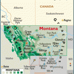
Lolo National Forest consists of several large parcels of land in western Montana, near and alongside the Idaho border. Included is a portion of the Bitterroot Mountains and an area along the Continental Divide, with 10,456-foot Warren Peak the highest point.
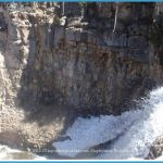
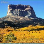
There are steep ridges, cirque basins, cliffs and canyons, alpine meadows, high lakes and streams with waterfalls, and forests of fir and pine. Among the wildlife are elk, moose, deer, black and grizzly bear, and mountain goat.
The forest has four designated wilderness areas, consisting of 75,000 acres of the 239,000-acre Scapegoat Wilderness, the 33,000-acre Rattlesnake Wilderness, the 28,000-acre Welcome Creek Wilderness, and a small portion of the 1.3 million-acre Selway-Bitterroot Wilderness.
Activities: Over 1,800 miles of trails are available for backpacking and hiking. Difficulty ranges from easy to strenuous. Horseback riding is allowed on most trails, and many miles of trails are used for cross-country skiing in winter. Fishing is also possible, and hunting is permitted in season.
Camping Regulations: Camping and campfires are allowed throughout the National Forest, except near public use areas or where otherwise prohibited. No permits are required.
For Further Information: Lolo National Forest, Building 24, Fort Missoula, MT 59801; (406)329-3750.

