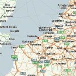
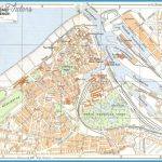
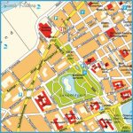
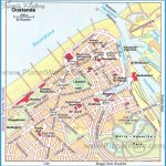
OSTEND MAP
On the coast of the North Sea, Ostend is a beach town with a promenade lined with restaurants and bars. The pier and Viserkaai (Fisher man’s Quay) mark the entrance to the harbor that brings in most of the fresh fish sold in the country. Near the bustling Vitrap (Fishmarket), vendors set up stands selling steaming bowls of caricoles (sea snails) and fresh seafood galore. To get to the main beach, cross the bridge directly in front of the station, turn right on Vis- serkaai and follow the promenade for 20min.
Trains run to Ostend from Bruges (15min. 3 per hr. ‚3). To get to the tourist office (s 70 11 99; www.oostende.be), follow the directions to the beach, but walk on the promenade for only lOmin. and turn left onto Langestr.; follow it to the end.

