
RIMBEY MAP EDMONTON
Directions: Exit Edmonton on Hwy 2 south, take exit 450B to Hwy 53 west, then turn left at Hwy 20A.
Distance: 145 km, or about 1 hour and 43 minutes, from Edmonton.
Info: 403-843-2113; www.rimbey.com;www.rimbey.com/visiting-rimbey/history/walking-tour.
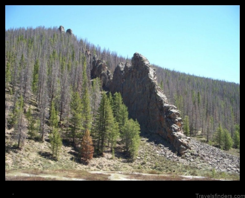
A town of 2,378 people, Rimbey was named after its first settlersthe Rimbey brothers. Incorporated as a village in 1919 and a town in 1948, Rimbey sits in the scenic Blindman River Valley among the rolling hills that border the Rocky Mountains.
The Early Days Walking Tour encompasses 35 different historical locations that introduce visitors to town ghosts and heritage buildingswith four kilometres of walking over a leisurely two hours.
Pas-Ka-Poo Park, Pioneer Museum, and Smithson International Truck Museum. Location: 51st Avenue and 56th Street, Rimbey.
Info: Open daily 9:00 a.m. to 4:00 p.m. Admission is charged. 403-843-2004.
Pas Ka Poo is the Cree name for Blindman River. Pas-Ka-Poo Park includes a historical village, four museums, and 10 historic buildings, including a 1920s barbershop, railway station, schoolhouse, homestead cottage, and trapper’s cabin. Museum collections encompass household and medical items, a veteran’s exhibit, farm machinery, and the world’s largest collection of International trucks with 19 restored International half-ton trucks, including a 1957 International anniversary edition halfton.