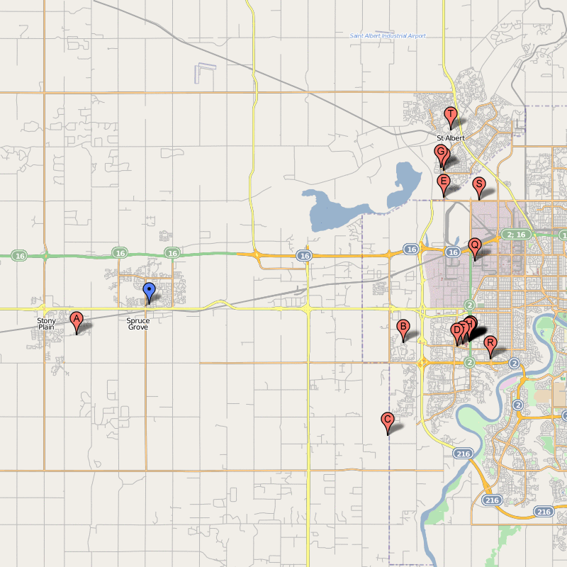
SPRUCE GROVE MAP EDMONTON
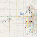
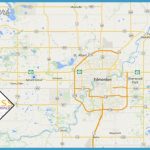
Directions: Exit Edmonton west on Hwy 16 and continue to Spruce Grove.
Distance: 28 km west, or 35 minutes, from Edmonton.
Info: 780-962-2611; www.sprucegrove.org.
Both poplar and spruce trees are prominent in the Spruce Grove area west of Edmonton. The community’s founders debated naming the community Poplar Grove but discovered then that a place with this name already existed.
French and Scottish pioneers came in 1891, setting up a general store, blacksmith shop, hotel, Roman Catholic Church, and livery stables. The crossroads of Century Road and Highway 16 mark the town’s original centre, but when the Grand Trunk Pacific Railway came through Spruce Grove in 1908, the train station was located on the track’s north side. The established businesses moved one kilometre west, to the city’s present location, and Spruce Grove became a busy grain-trading centre. Today it is Alberta’s 16th-largest city, boasting a population of more than 26,000 people. The community grew from a village in 1955 to a town in 1971, to a city in 1986. Annual events include
the Senior’s Strawberry Tea (June), the Canada Day Celebration, the Grove Cruise (August), Alberta Culture Days (September), the Mini Monster Bash (last Saturday in October), and Christmas in Central Park (last Saturday in November).

