Province: Juangsu
Altitude: 45m/148ft. Area: 185sq.km/71’/2sq. miles Population: 668,000 (conurbation 773,000)
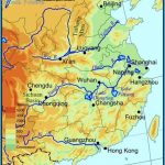
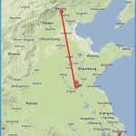
Xuzhou, in the north-west of Jiangsu province, lies at 117°12’E and 34°17’N. It is a major transport centre, because China’s two most important rail routes, the Beijing-Shanghai and Lianyungang-Urumqi lines, meet here. There are also air flights to Nanjing and Shanghai.
During its long history Xuzhou has proved to be a town of great strategic importance. Since the Xia dynasty (21-16 b.c.) more than 200 wars have been fought here, making the region very interesting from an archaeological point of view. 2000 years ago Xiang Yu crowned himself king of the Western Chu kingdom and made Xuzhou his capital.
Although it became of less importance politically after his death it maintained its role as a river port, and in the 15th and 16th c. more than 12,000 ships loaded with corn berthed here every year. In 1604 however, when the Grand Canal closed down, Xuzhou began to decline. In the early 20th c. after the above-mentioned rail routes were opened up, it regained some of its earlier importance. During the latest Civil War (1945-49) one of the three great battles between the Communists and the Kuomintang, in which the latter were defeated, took place in the countryside surrounding Xuzhou.
On the east side of the Yunlongshan river, in the south of the town, stands the Temple of Xinghua Si in which visitors can see statues carved out of the rock in the 5th c.
In the Municipal Museum at 44 Heping Lu wall-paintings from the Han period (206 b.c. to a.d. 220) are on display. Other interesting finds include a bronze lamp and a shroud made from pieces of jade.


