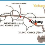
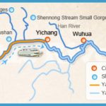
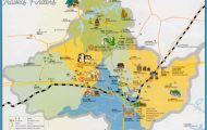
Yichang is situated in the west of Hubei province, at the end ofthe third and last gorge ofthe Changjiang (Yangtse) river, at 111°12’E and 30°38’N.
There are ships, trains and buses to Yichang from many Chinese towns, as well as flights to Xi’an, Canton, the provincial capital Wuhan and Changsha.
Yichang has been in existence for 2500 years, and because of its favourable situation has for many years been the political, economic and cultural centre of the western part of Hubei province.
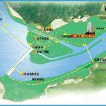
The Gezhou Barrier, 5km/3 miles west of the town, is the first to be built on the Changjiang river and the largest in China. The complex includes a dam, a power station, three sluices and two weirs, one to regulate the water pressure and the other to filter the sand. The dam is 2606m/2860yd long and 70m/230ft high. The power station has 21 generators with an annual output of 13,800,000 megawatts.
This nature reserve, 3250sq.km/1255sq. miles in area, lies near the border with Sichuan province about 150km/93 miles north-west of Yichang. The mountain chain of the same name, with six peaks over 3000m/9846ft, crosses almost the whole ofthe reserve. The favourable local climate is conducive to the numerous species of plants and animals found here.
Tigers, leopards, bears and monkeys roam in the countryside around Lake Dajiuhu, 38km/24 miles west of the highest peak.
Many people claim to have seen the “wild man” on the wooded slopes hereabouts, something that scientific expeditions have not so far been able to prove or disprove.

