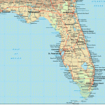
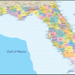
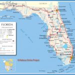
Florida Map
OCALA NATIONAL FOREST
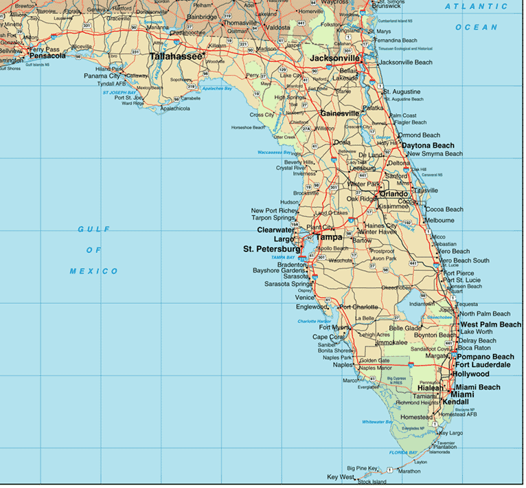
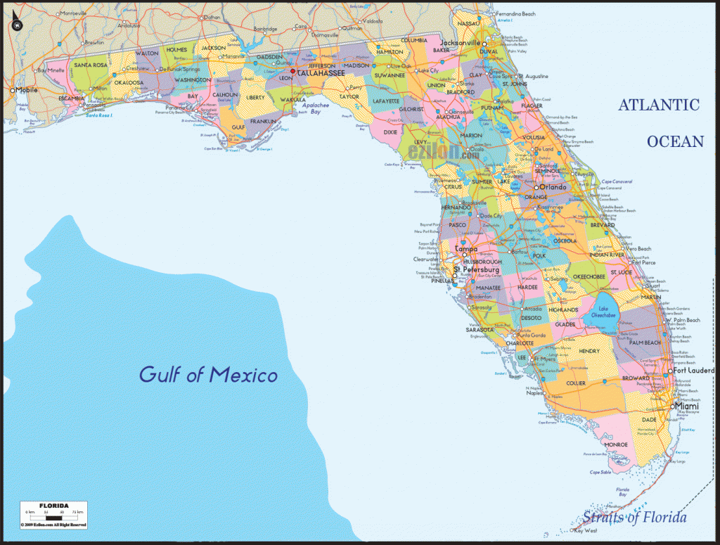
Situated in north-central Florida, this National Forest includes hardwood swamps and hammocks, pine forests and prairies, sandy ridges and grassy wetlands.
There are a few rivers and creeks, and a large number of small lakes. White-tailed deer, bear, bobcat, Florida panther, and alligator are among the wildlife here.
Ocala has four designated wilderness areas: the 13,260-acre Juniper Prairie Wilderness, the 7,700-acre Alexander Springs Creek Wilderness, the 3,120-acre Billies Bay Wilderness, and the 2,500-acre Little Lake George Wilderness.
Activities: There’s one marked trail for backpacking and hiking, the 66-mile Ocala Trail, which is now also part of the Florida Trail (see entry page 132).
Horseback riding is available on old roads and paths in the forest. Canoeing is feasible on some of the rivers and creeks, as is fishing. Hunting is permitted in season.
Camping Regulations: Camping and campfires are allowed throughout the National Forest, except near public use areas or where otherwise prohibited.
No permits are required. Whenever possible, campsites should be at least 100 feet from trails. During deer hunting season all camping is restricted to designated areas.
For Further Information: Ocala National Forest, 227 North Bronough Street, Suite 4061, Tallahassee, FL 32301; (904)681-7265.

