THE BLUE RIDGE PARKWAY FROM VIRGINIA TO ASHEVILLE
The mountain folk had never seen anything like the Blue Ridge Parkway. They knew the mountains well, because they had traveled paths and trails over every ridge and into every hollow. They knew how rugged the land was, how difficult it was to go from one valley to the next. No matter that the automobile had been available for nearly three decades. The upper elevations of the Blue Ridge simply didn’t have any decent roads on which to drive. Never in their wildest imaginations did they think someone would build a paved road along the crest of these mountains. Caroline Brinegar certainly didn’t think so. When told of the news, she allowed, One of them hard-surface roads like they have below the mountains? Why, Lord have mercy, no body a-livin’ could put one of them through here.
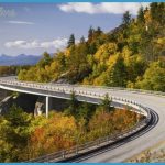
But someone did put a road through there. And Caroline Brinegar got a firsthand look when it cut across the front yard of her cabin! Beginning in Shenandoah National Park in Virginia, the highway follows the crest of the Blue Ridge Mountains for most of its 469 miles. Toward the southern end, it passes over the Black Mountains, the Great Craggies, the Great Balsams, the Plott Balsams, and into the Great Smoky Mountains. The government gave the road its official name of Blue Ridge Parkway. The local mountain people called it simply The Scenic.
Follow the Blue Ridge Parkway south from the Virginia border to Asheville. (166 miles)
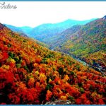
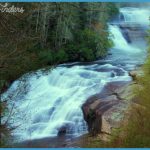
Twenty-five tunnels are located along the Blue Ridge Parkway in North Carolina. Only a few hundred feet separate the Twin Tunnels. Autumn lights up the forest at Crabtree Falls, in the Crabtree Meadows area of the Blue Ridge Parkway.
Some 250 miles of the parkway run through North Carolina, divided here into two separate routes. Route 7 begins at the Virginia border and follows the parkway south to U.S. Highway 70 in Asheville. Route 8 runs from Asheville to the parkway’s terminus in Great Smoky Mountains National Park.

