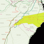
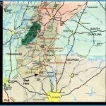
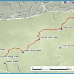
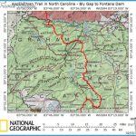
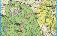
302 miles in North Carolina (2,100 total). In the course of crossing this state the Appalachian Trail winds through Nantahala National Forest, Great Smoky Mountains National Park, and Pisgah National Forest. For much of the distance it runs along or close to the North Caro-lina-Tennessee border.
This particular section offers some of the most spectacular backpacking available in the southern Appalachians, including the highest elevations of the entire Appalachian Trail. There are many magnificent views, some of which are from open grassy balds. Difficulty ranges from moderate to very strenuous.
Camping Regulations: Shelters and campsites are located an average of every few miles along the trail. On National Forest lands camping is allowed elsewhere as well, except near public recreation areas or where posted otherwise. When camping at other than designated areas, it’s suggested that campsites be at least 100 feet from the trail and away from water sources.
Special rules apply for Great Smoky Mountains National Park. A permit is required, and this should be requested well ahead of timeby calling (615) 436-1231 up to one month in advance. Demand is high, and some permit requests are denied.
Camping along the trail in this National Park is limited to shelters. Tents may be set up outside only when a shelter is full. Maximum stay allowed at shelters is one night.
Only those who are backpacking the Appalachian Trail from well outside the park (thru hikers) do not need a permit ahead of time. These backpackers may obtain the permit upon entering the park, and do not have to specify shelters in advance.
For Further Information: Appalachian Trail onference, P.O. Box 807, Harpers Ferry, WV 25425. This organization publishes two guidebooks covering different sections of the Appalachian Trail in North Carolina.

