
CAMROSE MAP
Directions: Exit Edmonton on Hwy 16 east, take the Anthony Henday Drive exit onto Hwy 216 south toward Hwy 14 east, exit onto Hwy 14 east, merge onto Hwy 21/Range Road 230. Follow Hwy 21 and turn left at Hwy 623/Township Road 494, continue to follow Hwy 623, take a slight right at Hwy 833, and turn left at Hwy 617, then right at Hwy 833. Distance: 104 km, or about 1 hour and 19 minutes, from Edmonton.
Info: 780-672-4255; www.tourismcamrose.com.
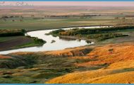
The Camrose city centre surrounds picturesque Mirror Lake, which flows from Stoney Creek and forms the central point of the city’s urban parks. A flock of trumpeter and Polish mute swans lives at the lake in summer and winters at a city facility. The city has maintained a flock for more than 40 years. Paralleled by 39 kilometres of paved or shale walking paths, Stoney Creek meanders through the city’s grassy river valley.
Originally the hamlet of Stoney Creek, present-day Camrose was originally named after Reverend Dr. Sparling of Winnipeg and incorporated as the village of Sparling. To avoid confusion with Sperling, Manitoba, and Stirling, Alberta, its name was changed again when its first post office opened. Camrose was likely chosen from the 1905 British postal guide and named after a community in South Wales. Camrose became incorporated in 1906.
Before European settlement, the Camrose region was home to the Cree First Nation. In the 1750s, Anthony Henday probably became the first European to travel here when he followed the Battle River Valley from the easta route the first homesteaders later used. In the early 1900s, most immigrants who settled in the Camrose area came from Scandinavian countries, like Norway and Sweden, but many also arrived from the United States.
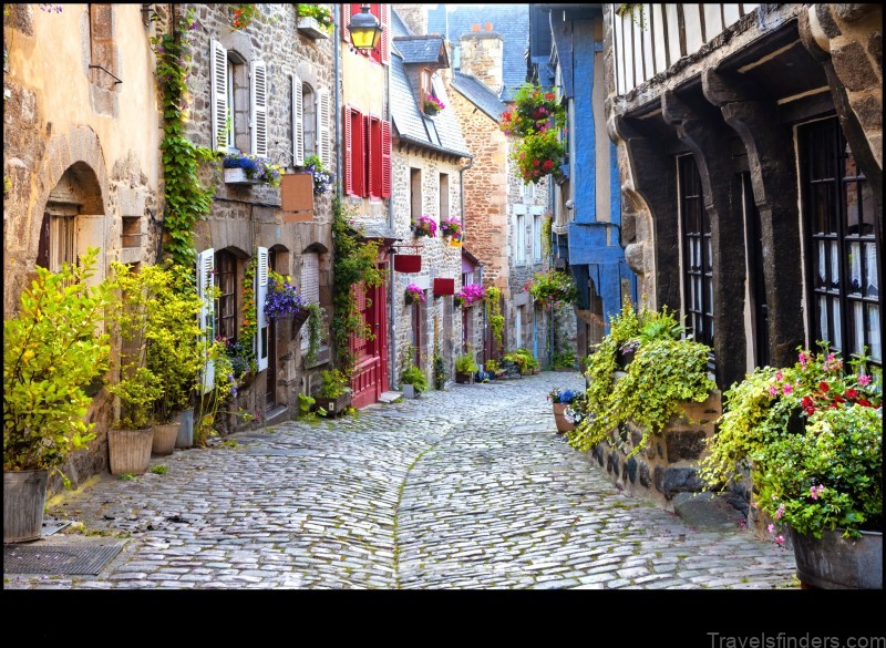
In 1904, Duncan Sampson built Camrose’s first commercial building using a wagonload of lumber hauled from Wetaskiwin. You can see its restored incarnation at the corner of 50th Street and 50th Avenue. The Camrose Main Street Project has involved enhancing nearly 20 of the more than 50 downtown buildings that are more than 50 years old. You can take a self-guided historic walk tour. A brochure is available at the Bill Fowler Visitor Information Centre (5402-48th Ave), City Centre Camrose (4949-48 Street), and www.downtowncamrose.com.
Camrose was proclaimed a city on January 1, 1955, and today more than 17,200 people live here. It has a long history of great events, including the Jaywalkers Jamboree (first weekend of June), which has been held here for more than 50 years. At this annual event, Main Street is closed to traffic and open to jaywalkers, who can experience a midway, musical entertainment, and a huge sidewalk sale. The Camrose Fly-In Breakfast (last Sunday in May) attracts more than 125 different aircraft. The Big Valley Jamboree, affectionately called bvj, (always on the August Civic holiday weekend) is the largest four-day outdoor country music festival in North America. It begins with a parade the Thursday of the jamboree; the music ends on Sunday.
You may want to time your visit to coincide with an event such as the Camrose Cruisers Car Show (last weekend in May), the Art Walk (June through August), the Camrose Founders Days Festival (mid-August), Canada Day, Battle of the Bands (Friday nights in June on Main Street), and Music on Main, where bands and artists perform outdoors on Main Street (every Friday evening in July and August).
Other events include National Aboriginal Day celebrations, the Purple Martin Festival, Taste of Camrose, Prairie Fun Days (last weekend of August before the long weekend), and the Festival of Trees and Spirits of Christmas Craft Sale (November).
CAMROSE MAP Photo Gallery