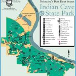
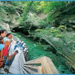
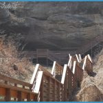
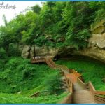
This state park stretches along the Missouri River in southeast Nebraska, in an area with both woodlands and grasslands. The park is noted for a giant sandstone cave which has ancient petroglyphs (Indian picture writings). Deer, coyote, fox, and wild turkey among the wildlife.
i Activities: About 20 miles of trails are available for hiking and backpacking. Difficulty ranges from 3asy to strenuous. Horseback riding is allowed, md some trails are open to cross-country skiing
during winter. Fishing is permitted along the Missouri River.
Camping Regulations: A number of backpacking campsites are located along some of the trails. Several trail shelters may also be used. An entry permit must first be obtained from the park office. Campfires are allowed only in established fire rings.
For Further Information: Indian Cave State Park, c/o Nebraska Game and Parks Commission, P.O. Box 30370, Lincoln, NE 68503.
Primitive camping is also generally permitted in Nebraska’s State Wildlife Management Areas, except where posted otherwise. These areas are used primarily for hunting and fishing. For more information contact the Nebraska Game and Parks Commission, P.O. Box 30370, Lincoln, NE 68503.
NEBRASKA CAMPING RESOURCES
INFORMATION ABOUT STATE PARK CAMPGROUNDS Nebraska Game and Parks Commission, P.O. Box 30370, Lincoln, NE 68503.
STATE HIGHWAY MAP AND TRAVEL INFORMATION
Nebraska Department of Travel and Tourism, P.O. Box 94666, Lincoln, NE 68509; (800)742-7595 (in state)/(800)228-4307 (out of state).

