
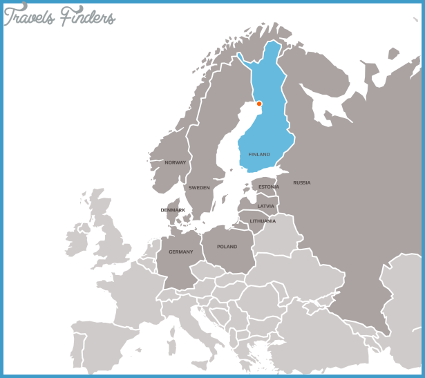
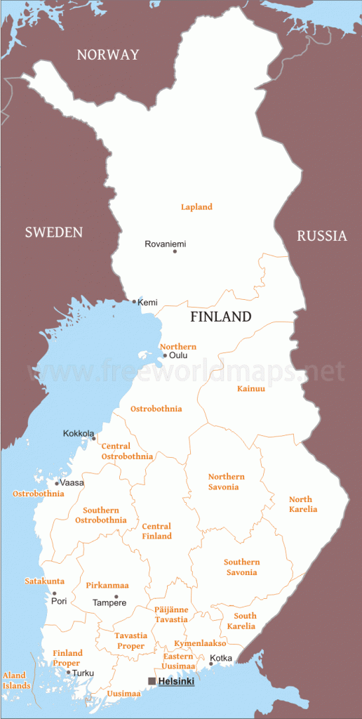
Province: Lapin laani (Lapplands IanLapland). Altitude: sea level. Population: 28,000.
Postal code: SF-94100. Telephone code: 9 80. ‘•’Information Office (summer only), Town Hall; tel. 2 3611.
HOTELS. Merihovi, Keskuspuistokatu 6-8, 73 Nestor, Meripuistokatu 9, 30 Reissumies Motel, Etelantie4, 26 b. Kapyla Motel, in Laurila (to N), 60 b.-YOUTH HOSTEL.-CAMPSITE.
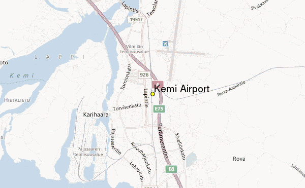
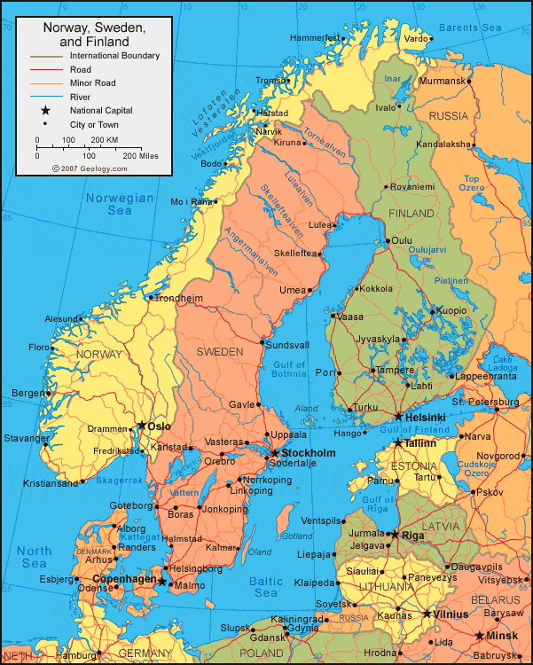
The Finnish town of Kemi lies at the N end of the Gulf of Bothnia, near the mouth of the River Kemijoki. It received its municipal charter in 1869, and with the development of industry also became an important port. Woodworking factories play a major economic role.
The Kemijoki was once heavily stocked with fish; there were large numbers of salmon at spawning time (hence the salmon which features in the town’s coat of arms). In recent years, however, the development of industry and the construction of hydroelectric power stations have restricted theirfreedom of movement and reduced their numbers.
SIGHTS. The town is well laid out, with broad streets. In the Town Hall (1939) is a panoramic cafe (views). The modern brick church in the Church Park was built in 1902. The Art Gallery contains works by Finnish artists. The Museum occupies an old peasant house, complete with a fish-smoking hut.
SURROUNDINGS. To the N of the town, on the Kemijoki, is the arge Isohaara power station. 9 km (5 miles) N of the middle of the town stands the 16th c. Kemi parish church, built of undressed stone. The vaulted wooden ceiling has paintings of the Passion; under the choir is the mummified body of a 17th c. parish priest, Nikolaus Rungius (d. 1629). There is a very attractive road up the Kemijoki to Rovaniemi (P- 229).


