Lanzhou sports contests are held in national costume (a kind of wrestling match, martial arts, target shooting and horse racing). Finally throughout the night there is an imposing torchlit procession with interludes of song and dance.
Altitude: 1508m/4947ft. Area: 2122sq.km/819sq. miles Population: 1,430,000 (conurbation 2,400,000)
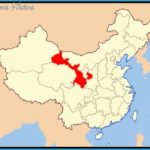
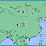
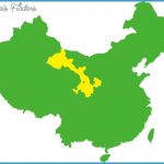
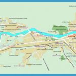
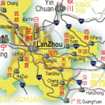
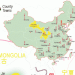
Lanzhou lies at 103°42’E and 36°02’N, in the east ofthe province of Gansu. The city is not only a road and rail junction but also has a modern airport linking it to all the other large cities in China.
Lanzhou was founded over 2000 years ago. In 81 b.c. it had already acquired the dimensions of a town and later developed into an important stopping-place on the Silk Road. In 581 it was given the name “Lanzhou”. Through the construction of the Longhai Railway in the 20th c. which extends from Jiangsu to Xinjiang, the city acquired considerable importance as a meeting-point between east and west.
After 1949 Lanzhou underwent enormous economic development, becoming an important industrial centre (petro-chemicals, weaving, metal processing) and achieving prominence in the field of atomic energy research. Today the city is the political, economic, scientific and cultural centre of Gansu Province and the second largest city in north-west China. It is also famous for its fruit, notably its melons.

