BELGRADE
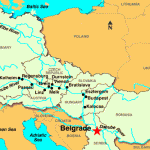
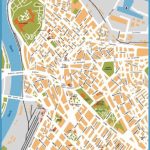
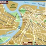
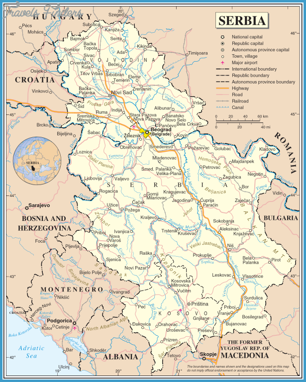
Belgrade is the capital of the Socialist Federal Republic of Yugoslavia and the Socialist Republic of Serbia. It has 1.5 million inhabitants and is not only the political, but also the cultural and economic center of the region. Belgrade consists of the Old Town with the park and castle Kalemegdan, Novi Beograd on the left bank of the river Save and Zemun (Semlin). Belgrade’s most remarkable feature is to be at the confluent of the two large rivers, the Save and the Danube. It has a maritime character despite its inland location.
The islands, Ada Ciganlija, the Save island with its artificial lake, and the Danube island Veliko Ratno Ostrvo, are a leisure and sports center for enthusiastic locals who can also watch the shipping traffic from the many bars and restaurants on the banks. The lowlands surrounding the city are ideal as industrial zones: they have mechanical and electrical engineering, chemicals and foodstuffs industries. Shipyards are on the rivers. A very industrious and active city: 570,000 workers and 60,000 students. Belgrade is a congress city and well known for its international trade fairs: especially the annual International Car Show, the technical and technological exhibitions and the sport, boat and leisure exhibition.

