
PARIS
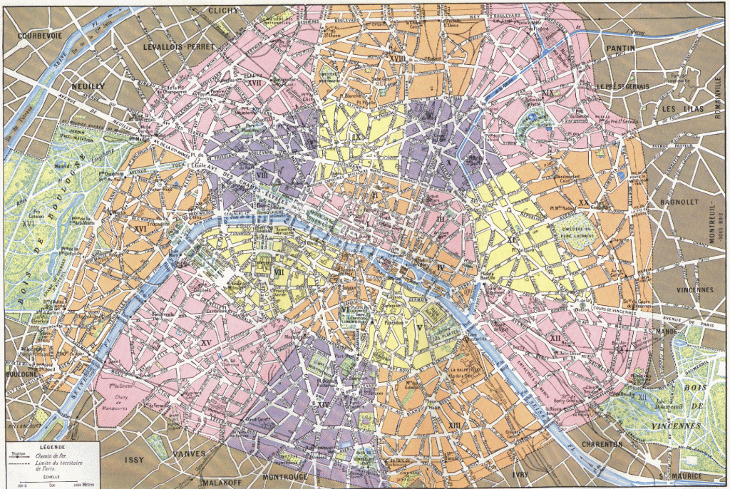
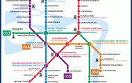
Paris, capital of the “Great Nation” is really the cultural, political, intellectural and economic centre of the country. The growth of the city in the 20th century was tremendous. In a 30 kilometre diameter around the lie de la Cite, stretching north and south on both banks of the river Seine, the French capital has absorbed all suburbs high-class, rural and industrial. Today Greater Paris has 8.7 million inhabitants. The city itself is modest with just over 2 million inhabitants. Parisians believe their city is not such a metropolis, but a collection of villages. Every ‘quartier7 has its own perculiarities. The well known Latin Quarter on the left bank of the river Seine has the Sorbonne, the famous university of Paris. Montmartre, famous for its artists quarter with the Sacred Heart Church. The best view of the city can be enjoyed from the top of the Triumphal Arch, towering in the centre of the Charles de Gaulle Square, formerly Star Square. From the Eiffel Tower the visitor can see further, but the details are then missing. The gigantic boulevards and elegant avenues( the Champs Elysees for example), the beautiful parks, innumerable museums, a thousand and one sights. Once the visitor has an overall view, it is worth purchasing from any newspaper stall a copy of an A-Z of Paris or a plan of the arondissements. The streets are listed alphabetically and even the nearest Metro stations are easy to find. The Parisians built an underground railway at the turn of this century. The capital of all capitals has an efficient communication network with motorways, express ways and ring road. Paris has always had a slogan – capital of fashion, artists, writers and beautiful women. Nothing has changed.
