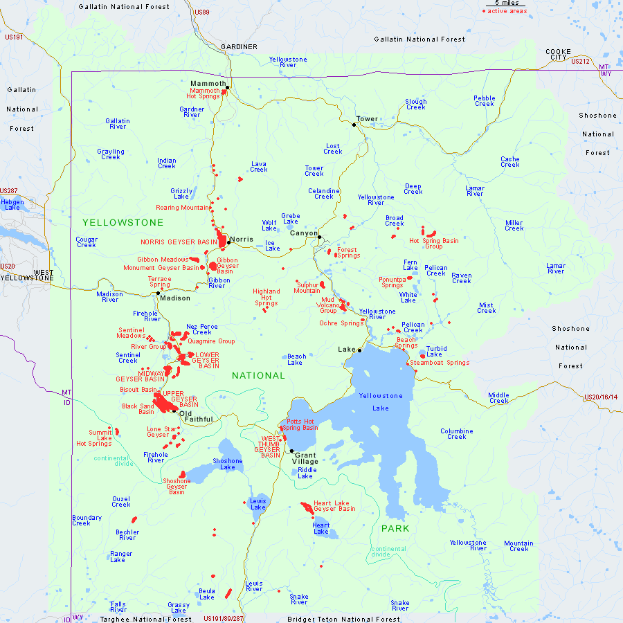
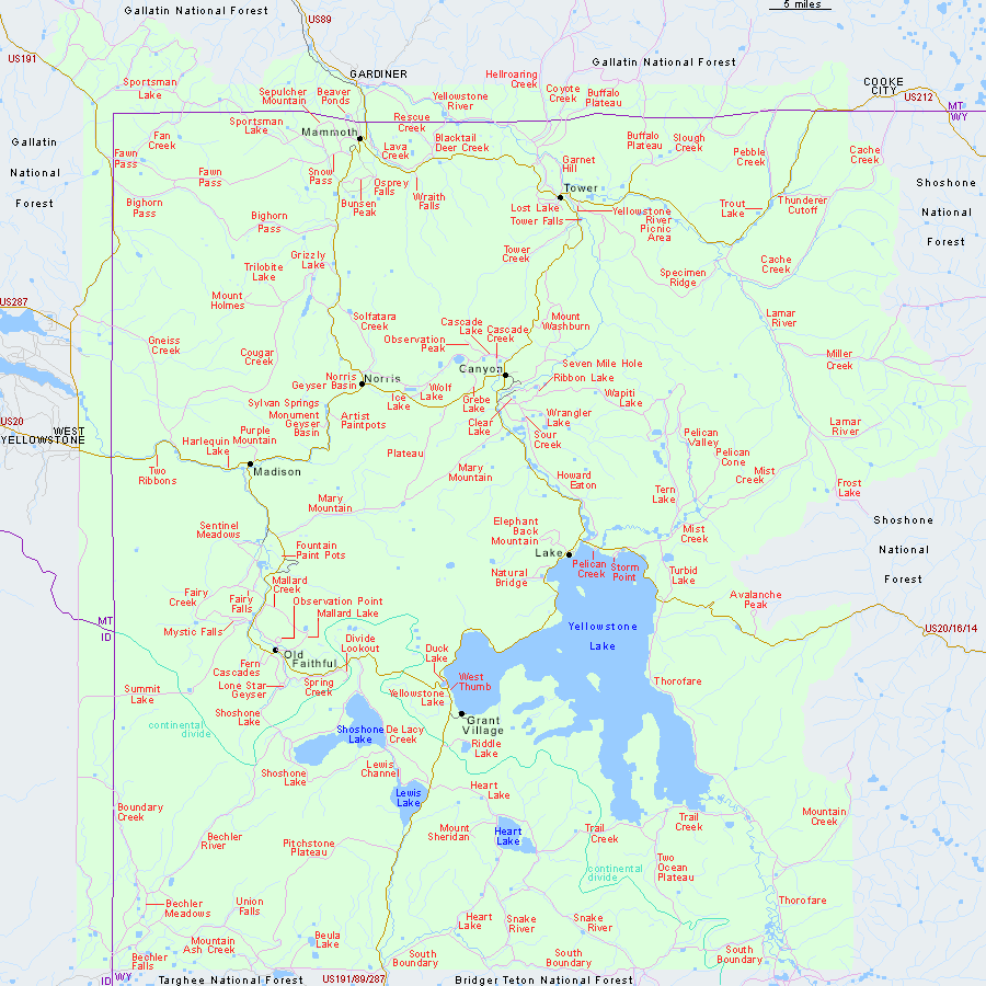
From Outside the Park Boundary to West Yellowstone From here U.S. 191 descends into the valley of the Madison River and reaches the town of West Yellowstone and the West Entrance in about 11 miles (18 km). Off to the west and southwest, you may see parts of the Snowcrest, Centennial, and Henrys Lake ranges beyond Hebgen Lake. To the east is the high but relatively flat and tree-covered Yellowstone Plateau.
At 1.4 miles (2.3 km) outside the park boundary and about 9.5 miles (15 km) north of West Yellowstone is the parking area for the Gneiss Creek Trail-head, next to the private Fir Ridge Cemetery road. This long trail is described from the other end at mile 7.6/6.3 on the West Entrance Road. At the nearby junction with U.S. 287, you can take a side trip of less than 20 miles (32 km) to visit Hebgen Lake and Quake Lake, where you can see a remarkable landslide and learn about the devastating earthquake of 1959. In 8 miles (13 km) more on U.S. 191, you pass entrances to two forest service campgrounds and the airport before entering West Yellowstone.

