GALLATIN NATIONAL FOREST
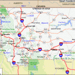
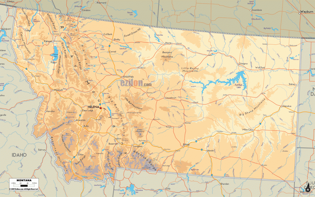
Located in southwest Montana and bordering on two sides of Wyoming’s Yellowstone National Park, this massive National Forest has spectacular Rocky Mountain scenery. There are 25 peaks over
12,000 feet, including 12,799-foot Granite Peak, Montana’s highest.
Also here are high plateaus, deep canyons and limestone cliffs, glaciers, alpine meadows, prairie grasslands, and dense forests, along with some major rivers, hundreds of lakes, and a 40-square-mile petrified forest. Among the wildlife are grizzly and black bear, mule deer, moose, and bighorn sheep.
There are two designated wilderness areas, consisting of about 575,000 acres of the 945,000-acre Absaroka-Beartooth Wilderness, and 112,000 acres of the Lee Metcalf Wilderness, both of which extend into other National Forests.
! Activities: Backpacking and hiking are available on over 1,800 miles of trails, including the 42-mile Gallatin Divide Trail. Difficulty varies from easy to strenuous. Most trails are open to horses. Mountain bikes are allowed on many trails outside of wilderness areas.
White-water rafting and kayaking are possible on several of the area’s rivers. Cross-country skiing is a winter option here, as is snowshoeing. Fishing is also available, and hunting is permitted in season.
Camping Regulations: Camping is allowed throughout the region, except where posted otherwise. No permits are necessary. Campsites should be away from meadows and trails, and at least 200 feet from water sources. Campfires are allowed but discouraged. A stove is recommended for cooking.
For Further Information: Gallatin National Forest, P.O. Box 130, Bozeman, MT 59715; (406)587-6701.

