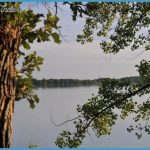
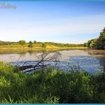
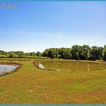
1,596 acres. Located alongside 2,600-acre Albert Lea Lake, near the southern border of Minnesota, Myre Big Island State Park includes a 116-acre island, rolling hills, wetlands, some prairie, and a hardwood forest on the island. White-tailed deer, fox, and bald eagle are among the wildlife.
Activities: Hiking and backpacking are available on 16 miles of trails. Eight miles of trails are suitable for cross-country skiing during the winter.
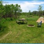
Camping Regulations: Four backpack camping areas are located along one trail near the lake. Camping and campfires are restricted to these designated sites.
For Further Information: Myre Big Island State Park, Route 3, Box 33, Albert Lea, MN 56007; (507)373-4492.
In addition, 1,880-acre Glacial Lakes State Park in west-central Minnesota has one primitive camping area which is accessible by a trail. For information contact Glacial Lakes State Park, Route 2, Box 126, Starbuck, MN 56381; (612)239-2860.

