
NICOSIA DISTRICT
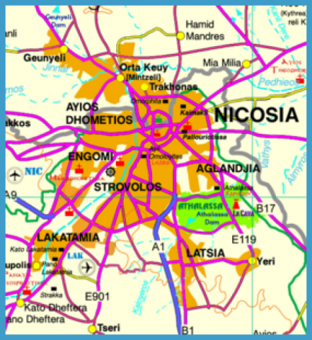
Nicosia (Lefkosia) is the central district of Cyprus, bordered by Kyrenia (Keryneia) in the north, Famagusta (Ammochostos) and part of Larnaka in the east, Limassol (Lemesos) and the rest of Larnaka in the south and Pafos in the west. Only a part of Nicosia district, around Morfou bay and Tillyria region is washed by the sea. With an area of 2.727,7 sq km it constitutes 29,48% of the total area of Cyprus, while its population of 326.980 persons represents 37,93% of the total population of the free part of Cyprus. The actual municipality of Nicosia consists of 55.014 persons. The population of the settlements included in the broader urban area of Nicosia is as follows:
Currently, a large number of Nicosia villages, east, north and west of the district, are occupied by the Turkish troops, still stationed in Cyprus since the 1974 invasion. Moreover, as many as 15 settlements are currently abandoned.
Agriculture consists mainly of dry-fed crops, while irrigated crops, such as citrus, fruit trees, table grapes, vegetables, hazelnuts, walnuts, etc grow in valleys, such as Solia, Marathasa and Pediaios, as well as in villages irrigated by dams, reservoirs or boreholes. From the industrial point of view in Nicosia district there are as many as seven industrial zones and one industrial estate in Nicosia town, while another four zones lie around
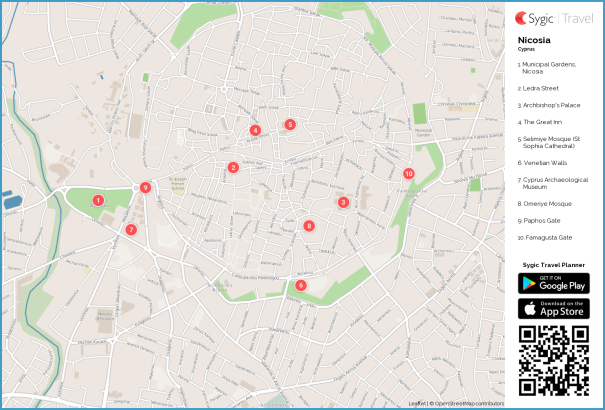
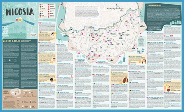
Nicosia, Map & Directions Photo Gallery
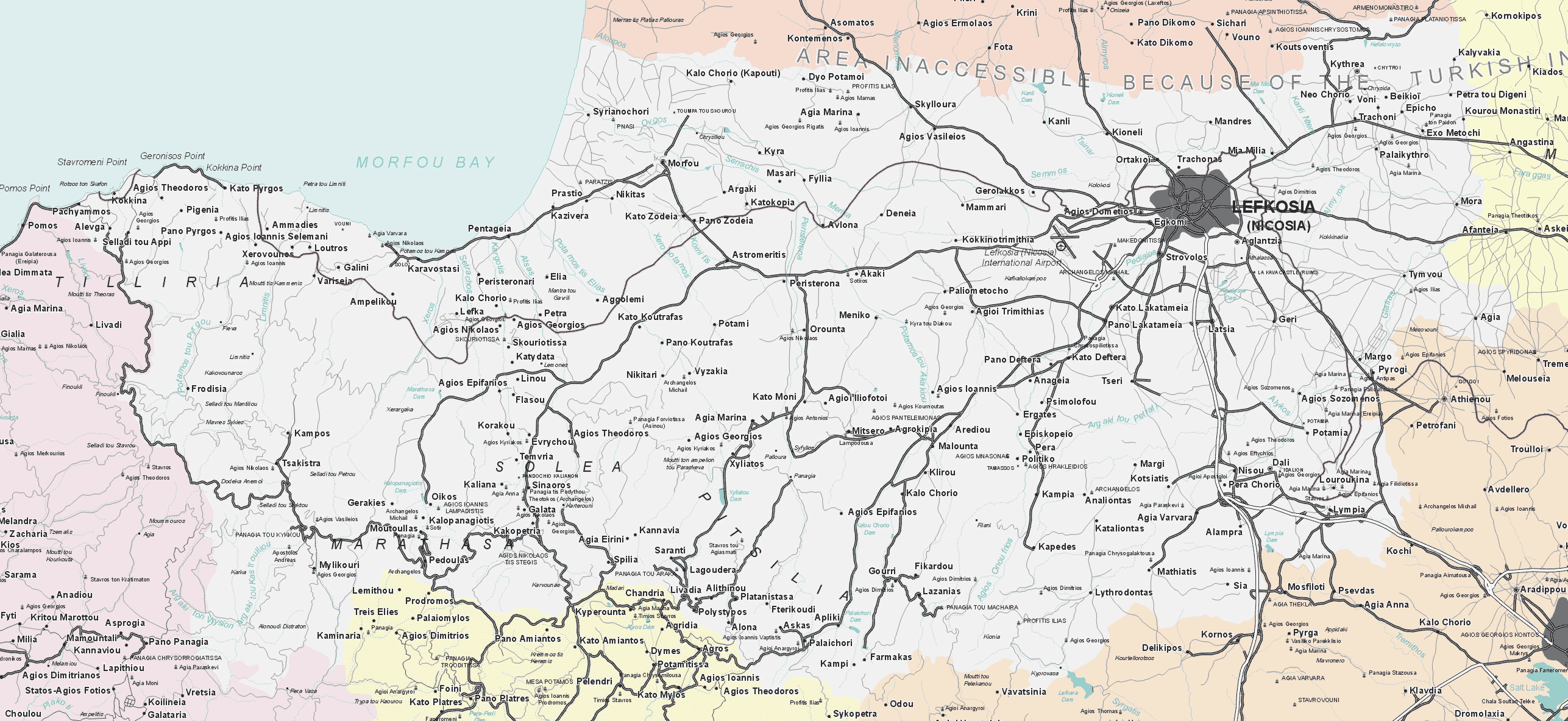
the broader urban area of Nicosia. More than 47% of the industrial units of Cyprus lie in the Nicosia district. Though tourism is mainly concentrated in the coastal areas, Nicosia town owns a considerable number of hotels. Moreover, hotels operate on the hill resorts of Cyprus, particularly at Kakopetria, Galata, Pedoulas, Kalopanagiotis, Gerakies and Kampos. In Nicosia there are numerous cultural monuments, including painted Byzantine churches. Besides, some very interesting and world-famous monasteries are situated in this district.
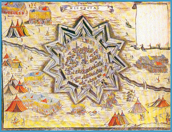
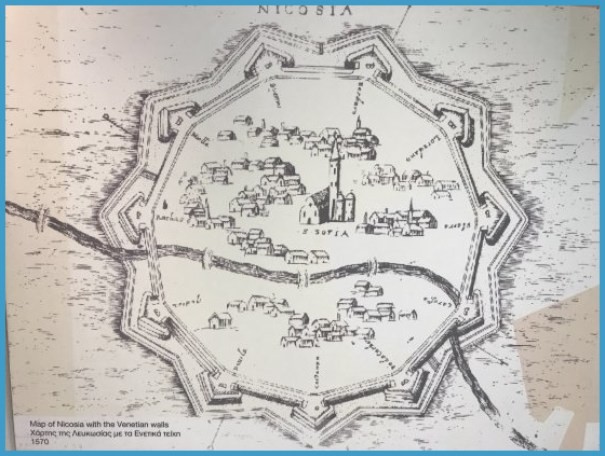
Ancient map showing the flow of Pediaios through walled Nicosia
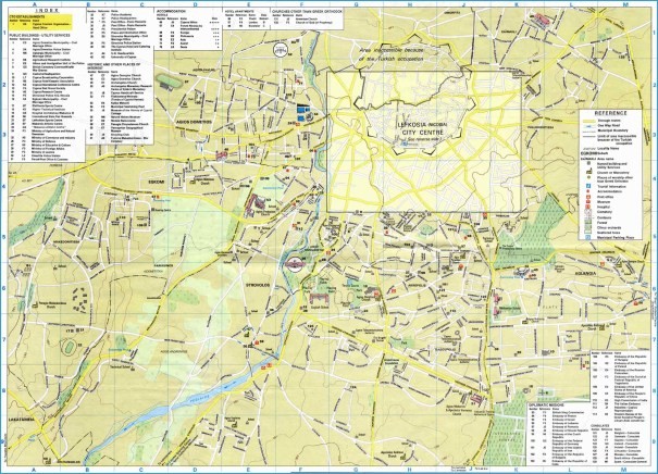
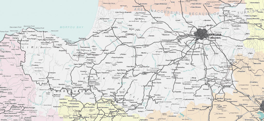
Part of the “Road & Tourist Map of Cyprus” SELAS PUBLICATIONS LTD
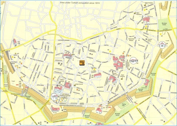
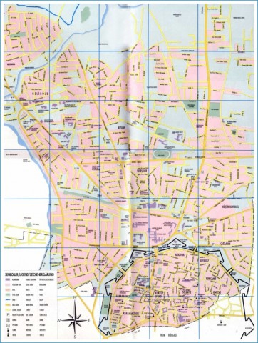
Map of Nicosia – Michelin Nicosia map
Eleftheria Square (Nicosia)
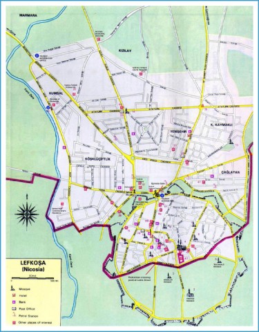
THE TOWN OF NICOSIA
Nicosia lies almost in the middle of the central plain of Cyprus on a height of about 140 metres a.s.l. Though the majority of the underlying rocks are easily eroded, some harder ones withstood erosion and weathering and have presently given rise to peculiar looking “table lands” and conical hills, appearing particularly to the south-east of Nicosia. Leondari Vouno, Aronas and Kafizin are three classic examples of these peculiar landforms. It is not surprising that the table land (mesa) of Leondari Vouno had been chosen as a Bronze Age settlement, which acted either as a fortress, or as a military station for the defence of the plains beneath. Pediaios, the longest river of Cyprus (98km), originating in the mountains of Machairas, used to flow through Nicosia, before following an easterly direction towards the Famagusta sea. The flow of the river through the town continued even during the Lusignan period, as mentioned by travellers and writers. Often the floods of the river were not only serious but catastrophic. It is mentioned that in one of its floods, in the Middle Ages, thousands of people lost their lives, besides significant other damages caused. The diversion of the river further away from the town, took place in 1567 by the Venetians. It is apparent that the river Pediaios, with its fertile alluvial soils and its water is responsible for the early settlement of Nicosia. Later on, particularly in the Byzantine times, the centrality of Nicosia, particularly as far as administration is concerned, made it the capital of Cyprus, a status still retained.


