NATIONAL GRASSLANDS IN NORTH DAKOTA
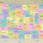
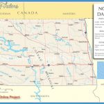
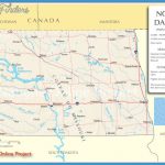
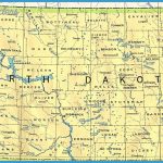
Three separate National Grasslands are located in this state. All are administered by Custer National Forest, which is based in Montana but has a district office in North Dakota.
Largest is 524,000-acre Little Missouri National Grasslands, which surrounds the two units of Theodore Roosevelt National Park in western and southwest North Dakota.
Included here is some fine badlands scenery, with high buttes, areas of prairie, and trees which include ash and elm, juniper and ponderosa pine. There’s also a sizable stretch of the Little Missouri River.
In the southeastern part of the state is 70,180-acre Sheyenne National Grasslands. The Shey-enne River flows through this region, with some elm-basswood forest and other stands of trees amid rolling prairie.
The third area in the state is 6,700-acre Cedar River National Grasslands, which surrounds the Cedar River in southwestern North Dakota, near the South Dakota border.
All of the National Grasslands have major areas of tallgrass prairie, with sandy soil and many wild-flowers. Wildlife includes white-tailed and mule deer, antelope, bighorn sheep, coyote, and prairie dog. Cattle grazing is permitted in some regions.
Activities: The only established trail for hiking and backpacking is a 25-mile section of the new North Country Trail, which passes through Sheyenne National Grasslands.
Cross-country travel is feasible in most parts of the Grasslands. Horseback riding is allowed. Canoeing and fishing are possible on the rivers. Hunting is permitted in season.
Camping Regulations: Camping and campfires are allowed throughout all the Grasslands, except where posted otherwise. There are no designated campsites. Permits are not required. Campsites should be well away from trails and water sources.
For Further Information: National Grasslands in North Dakota, c/o U.S.D.A.- Forest Service, 1511 E. Interstate Avenue, Bismarck, ND 58501; (701)250-4443.

