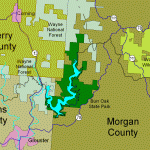
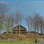
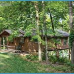
Situated in southeast Ohio next to Wayne National Forest lands, this state park surrounds Burr Oak Lake, a 640-acre reservior. Terrain is hilly and there are some caves and rock outcroppings, open meadows, and forests of oak and hickory. White-tailed deer and wild turkey are among the wildlife.
Activities: Hiking is available on several trails here. The longest is open to backpacking: the 29-mile Burr Oak Backpack Trail, which forms a loop around the lake and coincides with the Buckeye Trail (see entry page 232) for a stretch. Difficulty varies from easy to moderate. Cross-country skiing is available on trails during the winter. Fishing is possible alongside the lake, and hunting is permitted in season.
Camping Regulations: Camping is restricted to three designated areas along the Burr Oak Backpack Trail. Backpackers must register before starting, and may stay a maximum of one night at each site. A fee is charged for camping. Campfires are allowed only in fire rings. Pets are prohibited in
camping areas. The Burr Oak Backpack Trail is closed during deer hunting season.
For Further Information: Burr Oak State Park, Route 2, Box 286, Glouster, OH 45732; (614)767-3570.

