
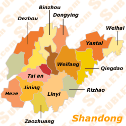
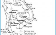
Province: Shandong
Area: 18,OOOsq.km/6950sq. miles
Population: 356,000 (conurbation 780,000)
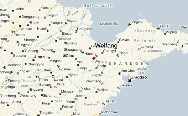
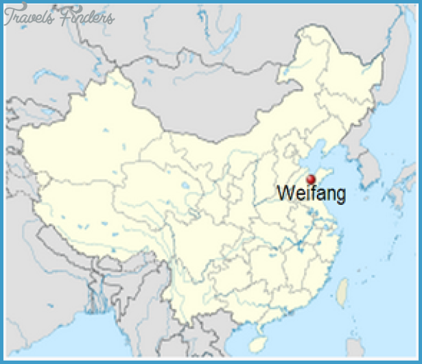
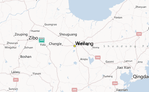
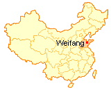
Weifang lies in the east of Shandong province, on the railway line from Jinan to Qingdao, at 119°07’E and 36°42’N. There are also buses from Jinan and Qingdao. Weifang has a small airport, but the only flights are to Beijing.
During the time ofthe Three Kingdoms (220-280) Weifang was a major military base. Over the centuries it became less important from a military point of view and more of a cultural centre. For example, Zheng Banqiao, one ofthe most famous 18th c. Chinese painters, was born here. In more recent years, however, the town has become known all over the world for the manufacture of kites; this has led to Weifang being given the nickname “World Kite Capital”. The International Kite Society has its headquarters here and has organised a large kite festival every year since 1984.
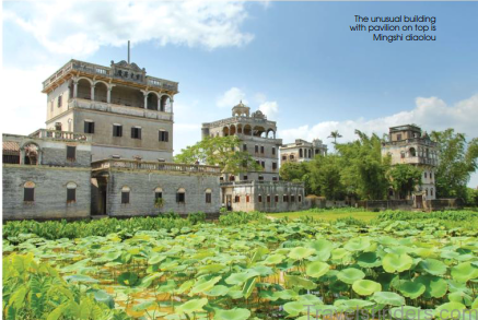
A large number of buildings in miniature (something frequently found in China, where building land is often at a premium) occupy a small green space measuring only 200sq.m/235sq.yd in the town centre. Laid out in the 18th c„ the gardens were originally privately owned by a mandarin, and were opened up to the public only quite recently.
Here visitors can find a small museum with works by the painter and calligrapher Zheng Banqiao, who also held the office of prefect of Weifang for a number of years.
The Kite Museum, 13,000sq.m/140,000sq.ft in total area, lies a few yards from the town centre on the banks of the Bailang river. One large main hall and ten smaller rooms house an exhibition of kites of every conceivable size and shape from many countries, including traditional folk-lore designs as well as some shaped like animals. Visitors can also watch kites being made.
Population: Shandong. Area: 37sq.km/14sq. miles Population: 170,000 (conurbation 2,340,000)
Weihai lies at 122°08’E and 37°31’N, in the north-eastern corner of Shandong province, 88km/55 miles east of Yantai, with which it is linked by a good road. Situation and Communications
In the 14th c. Weihai was a fortified coastal town. In the 1870s the Manchurian government set up a base here for its newly-formed navy, which was completely wiped out by the Japanese in the naval battle off Weihai in 1895. From 1898 to 1930 the town was under British rule, after which it was returned to the Chinese. History
Mr Liu’s Island, just off the coast, is a 20-minute trip by ferry from Weihai. It was here that the base of the ill-fated Chinese navy was situated. Today visitors can still see the headquarters building, the parade ground and some of the battle equipment. Surroundings Mr Liu’s Island (Liugong Dao)
The Cape of Chengshan is a rocky promontory on the eastern tip of the Shandong peninsula, about 60km/37 miles east of Weihai. According to legend, the Qin Emperor Shi Huangdi came here twice seeking a herb which would provide him with everlasting life. On the south side of the cape stand two temples; one is dedicated to the Qin Emperor Shi Huangdi, to commemorate his two visits, while the Temple of the Sun God (Rizhu Ci) was built by the Han Emperor Wudi after he had paid homage to the Sun God on this cliff. Cape of Chengshan (Chengshan Jiao)
Weifang Map Photo Gallery


