Altitude: 24m/79ft. Area: 1557sq.km/600sq. miles Population: 3,340,000 (conurbation 6,240,000)
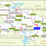
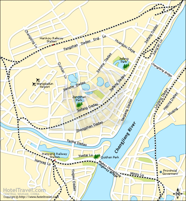
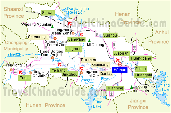
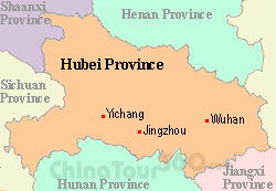
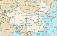
Wuhan lies at the confluence ofthe Changjiang and Hanshui rivers, in the east of Hebei province, on the Beijing-Canton rail route, at 114°17’E and 30°32’N.
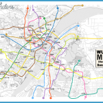
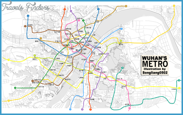
Wuhan can be reached by rail or air from all the major Chinese cities. There are also ships going to Chongqing, Nanjing and Shanghai.
Wuhan is a traffic hub and vital industrial and commercial centre as well as being a city of culture and politics. There are rich deposits of iron-ore in the surrounding countryside, and a giant iron and steel combine has grown up here.
River harbour on the Changjiang
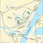
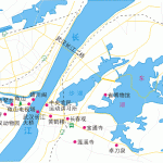
The city can be divided into three districts – Wuchang in the east, Hankou in the north and Hanyang in the south; at one time these were all independent towns and separated from one another by the Changjiang and Hanshui rivers. Wuhan’s name is in fact formed from the first syllables of the names of these three towns.
Wuchang, the oldest ofthe three towns, was provided with fortifications as long ago as the Han period (206 b.c. to a.d. 220) and was the capital of Huguang province. The peasants’ revolutionary army led by Chen Youliang made it its headquarters in the second half of the 14th c. Wuchang has functioned as the provincial capital since the early 20th c. In 1911 an uprising against Qing rule broke out here.
Hanyang was founded in the Sui period (581-618). China’s very first iron and steel works came into operation here at the end of the 19th c. Today light industry predominates.
Hankou was just a village until 1858, when the Western powers made it a trading port. Britons, French, Germans and Russians settled here and soon made it into a commercial centre. This development was assisted by the building of the Beijing-Hankou railway. This in turn produced a proletariat which formed the basis ofthe revolutionary movement.
Much of Hankou’s architecture still betrays a strong European influence.
Yellow Crane Tower, extolled as the “eternal sight of the city”, stands proudly on the top of Snake Mountain (Sheshan) in the west of Wuchang district. The original building was erected in 1223 in memory of an immortal being who was said to have flown down to the mountain on the back of a yellow crane.
The five-storey, 51 m/167ft high tower has been destroyed several times and subsequently rebuilt. It last burned down in 1984 and was rebuilt in 1985. The first tower is said to have been built here 1600 years ago.
From the tower there is a good view of the Changjiang river and the countryside around Wuhan.
Shenxiang Baota The Shenxiang Baota Dagoba near Yellow Crane Tower is at least 9m/30ft
Dagoba tall and dates from the year 1343. It had to be removed to enable the
Changjiang Bridge to be constructed, and in 1957 it was rebuilt close by.

