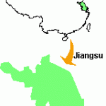
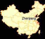
Province: Jiangsu. Area: 215sq.km/83sq. miles Population: 310,000 (conurbation 2,500,000)
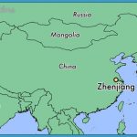
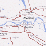
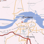
Zhenjiang lies on the south bank of the Changjiang (Yangtse) river, at 119°22’E and 32°14’N, surrounded by the Jiaoshan, Beigushan and Jinshan mountains around which so much in the way of myths and legends and meaningful history has been woven over the centuries. The Beijing Shanghai-Fuzhou railway line links it with the provincial capital Nanjing (65km/40 miles), Shanghai (238/148 miles) and many other Chinese cities. As Zhenjiang has a large harbour on the Changjiang it can also be reached by ship from Nanjing, Shanghai, Wuhan, Chongqing, etc.
Zhenjiang can look back proudly on 2500 years of history. After having been made a military base under the Wu, at the time of the Three Kingdoms (220-280) it became known as Xuzhou and retained that name for several centuries until it was changed to Zhenjiang in the Song period (960-1279). Being so favourably situated at the confluence of the Changjiang and the Grand Canal it soon became a trading centre. Today it is an industrial city.

