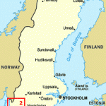
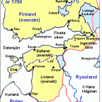
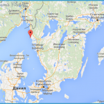
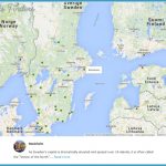
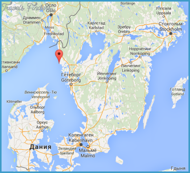
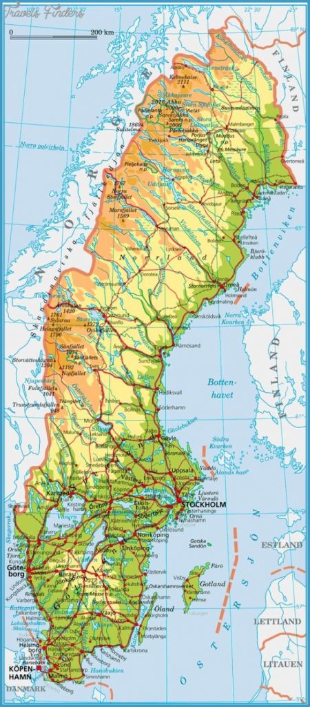
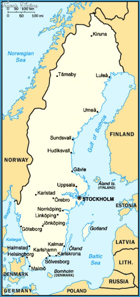
The region of Bohuslan extends N from Gothenburg along the coast of the Skagerrak to the Norwegian frontier. It is the most westerly province of Sweden, to which it has belonged since the treaty of Roskilde in 1658. The traditional fisheries which were for long the region’s only significant source of income have been supplemented in recent years by a growing tourist trade, so that during the summer Bohuslan sometimes tends to be overcrowded.
The much indented coastal regions with | their innumerable skerries, worn smooth by wind and water, their delightfully colourful wooden houses and their clean and strongly saline water, have been a popular holiday area for more than a century. In addition Bohuslan is rich in remains of the past, particularly rock carvings of the Stone and Bronze Ages and Viking stone-settings.
Tour of Bohuslan. The main traffic artery is the E6, which runs N from Gothenburg to Svinesund on the Norwegian frontier, continuing to Oslo.
Numerous attractive excursions can be made from this road, particularly in the southern part, going W towards the coast.
From Gothenburg the road runs N under , the Gotaalv and then follows the valley of the river (here canalised).
Kungalv (pop. 29,000; Fars Hatt Hotel, 230 Lokebergs Pensionat, 106 youth hostel; camp site), the oldest town in Bohuslan, known in the Middle Ages as Kongahalla, has a wooden church of 1679 with fine ceiling paintings. In the southern outskirts ofthe town E6 crosses the Nordre Alv: on an island to the right can be seen the large ruined castle of Bohus (magnificent view), built by King Hcikon V of Norway in 1 31 0, and which has given its name to the region.

