Category: National
Subduction Volcanism. Volcanoes formed the Absaroka Range, which extends from the Beartooth Range north of the park for approximately 100 miles (160 km) to the southeast into Wyoming. Most …
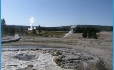
Described here are two routes you might take through Upper Geyser Basin. Any combination of walkways is possible, and there’s much to see. You might follow one of these …
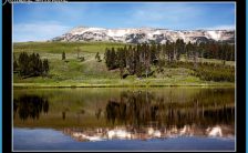
Starting to the east (left) and looking around clockwise, you’ll see: To the east and southeast are mountains of the Washburn Range, 9 to 12 miles (15-19 km) away. …
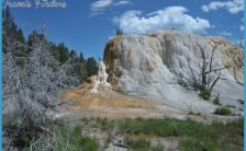
A descending series of travertine terraces passes through the Mammoth Hot Springs area from southwest to northeast, like huge stair steps. The oldest now-inactive terrace, Terrace Mountain, is the …
The construction of Grant Village had a long and complicated history, starting from preliminary surveys of the area in 1947. At that time the National Park Service decided it …
What determines how far up a mountainside trees will grow? This depends on the latitude and the characteristics of the particular mountain. Factors such as rainfall, amount of wind …
Along this entrance road, you’ll find two fine waterfalls and views into Lewis River Canyon. Just east of West Thumb Junction is West Thumb Geyser Basin. Engineer Hiram Chittenden …
Rocky Mountain juniper tree fissure ridge, built up over centuries by sporadic see from the springs at its top. Solution caves, that is, depressions where runoff down the side …
