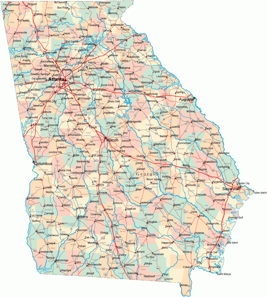
Georgia Map
OCONEE NATIONAL FOREST
Consisting of two tracts of wild land southeast of Atlanta, in north-central Georgia, Oconee National Forest is co-administered with Chattahoochee National Forest. It’s a relatively flat area (highest point is 654 feet), with a couple of rivers, a number of streams, and an attractive forest of mixed hardwoods and pine, including some old-growth trees. Bear and deer are among the wildlife.
Activities: A few short and easy trails are available for hiking or backpacking. Some trails are open to horseback riding. The Oconee River is suitable for canoeing. Fishing is possible here as well, and hunting is permitted in season.
Camping Regulations: Camping and campfires are allowed almost anywhere, except where posted otherwise. No permits are required. Campers are encouraged to choose sites which are at least 100 feet from trails and water sources.
For Further Information: Oconee National Forest, 508 Oak Street N.W. Gainesville, GA 30501; (404)536-0541.

