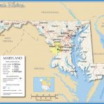
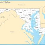
Maryland Map
GREEN RIDGE STATE FOREST
40,000 acres. This state forest is located near the Potomac River in northwestern Maryland. There are fine views from small mountains here, with some elevations over 2i000 feet.
A number of creeks flow through the region, which is forested primarily with oak and hickory, maple and walnut. Wildlife includes white-tailed deer, bear, fox, and wild turkey.
Activities: Hiking and backpacking are possible on several trails, longest of which is the 26-mile Green Ridge Trail. There’s also easy access to a section of the nearby C & O Canal Trail (see entry page 170). Fishing is available, and hunting is permitted in season.
I Camping Regulations: Camping and campfires are allowed at over 100 designated campsites, which are dispersed along a network of forest roads throughout the area. A camping permit is Required, and available from the forest headquarters office. A nominal fee is charged for camping ;ach night.
For Further Information: Green Ridge State For-ust, Star Route, Flintstone, MD 21530; (301)777-:2345.

