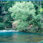
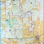
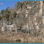
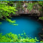
Administered by the National Park Service and located in southern Arkansas, the Ozark National Scenic Riverways consist of 134 miles of the Current and Jacks Forks Rivers, plus substantial adjacent lands. These wild and beautiful rivers flow between two tracts of Mark Twain National Forest, and the waterways intersect. Riverside scenery includes high limestone bluffs.
Activities: The rivers are popular for canoeing, kayaking, and rafting, with stretches of white-wa-ter included. Canoe rentals and shuttle services are available throughout the area. Some portions of the rivers receive heavy use, especially on summer weekends. During dry spells not all sections are canoeable. Conditions after heavy rains can be dangerous.
Backpacking and hiking are possible mainly on the Ozark Trail, which crosses and parallels the Current River for a few miles. Fishing is also available along the rivers.
Camping Regulations: Camping and campfires are allowed near or alongside the rivers. No permits are required. It’s possible to camp on grav-elbars directly by the river, but one should be on the lookout for rising waters, especially in the event of rain. Campsites should be chosen which offer escape routes on foot.
For Further Information: Ozark National Scenic Riverways, P.O. Box 490, Van Buren, MO 63965; (314)323-4236.

