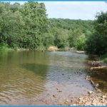
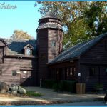
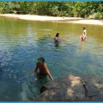
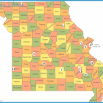
5,168 acres. Located in southeast Missouri’s St. Francois Mountains, this state park surrounds 1,300-foot Mudlick Mountain, and includes the 4,180-acre Mudlick Mountain Wild Area. Both the St. Francois River and bluff-lined Big Creek border the park.
Activities: The main trail here is the 12-mile Mudlick Trail, a moderately-strenuous National Recreation Trail which forms a loop around the Wild Area. It’s open to hikers, backpackers, and horseback riders. Fishing is possible alongside the creek and river.
Camping Regulations: Camping is allowed only for backpackers, who must register at the trailhead or park office. Campsites must be at least 100 feet from the trail, 200 feet from public use areas, and one-quarter mile from entry points.
Campfires are not permitted. Groups of seven or more are required to camp at designated areas. There are also three shelters which are available for use from October 1 to May 15 each year.
For Further Information: Sam A. Baker State Park, Patterson, MO 63956; (314)856-4411.

