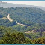
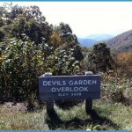
Located on lands along the Blue Ridge Parkway, in the mountains of northwest North Carolina, Doughton Park is administered by the National Park Service. Terrain here is sometimes steep, with nice views from rock outcrops, and there are streams and waterfalls. The area is forested with mixed hardwoods and conifers, and includes rhododendron.
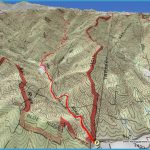
Activities: The park has over 30 miles of hiking trails, easy to strenuous in difficulty. Horseback riding is only permitted on one trail. Fishing is available along the streams.
Camping Regulations: Backpack camping is allowed at one designated area. A free permit is required, and may be obtained from the ranger’s office. Permits should be requested in advance by mail or phone.
For Further Information: Doughton Park, Blue Ridge Parkway, Bluffs District, Route 1, Box 263, Laurel Springs, NC 28644; (919)372-8568.

