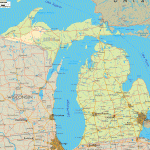
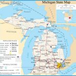
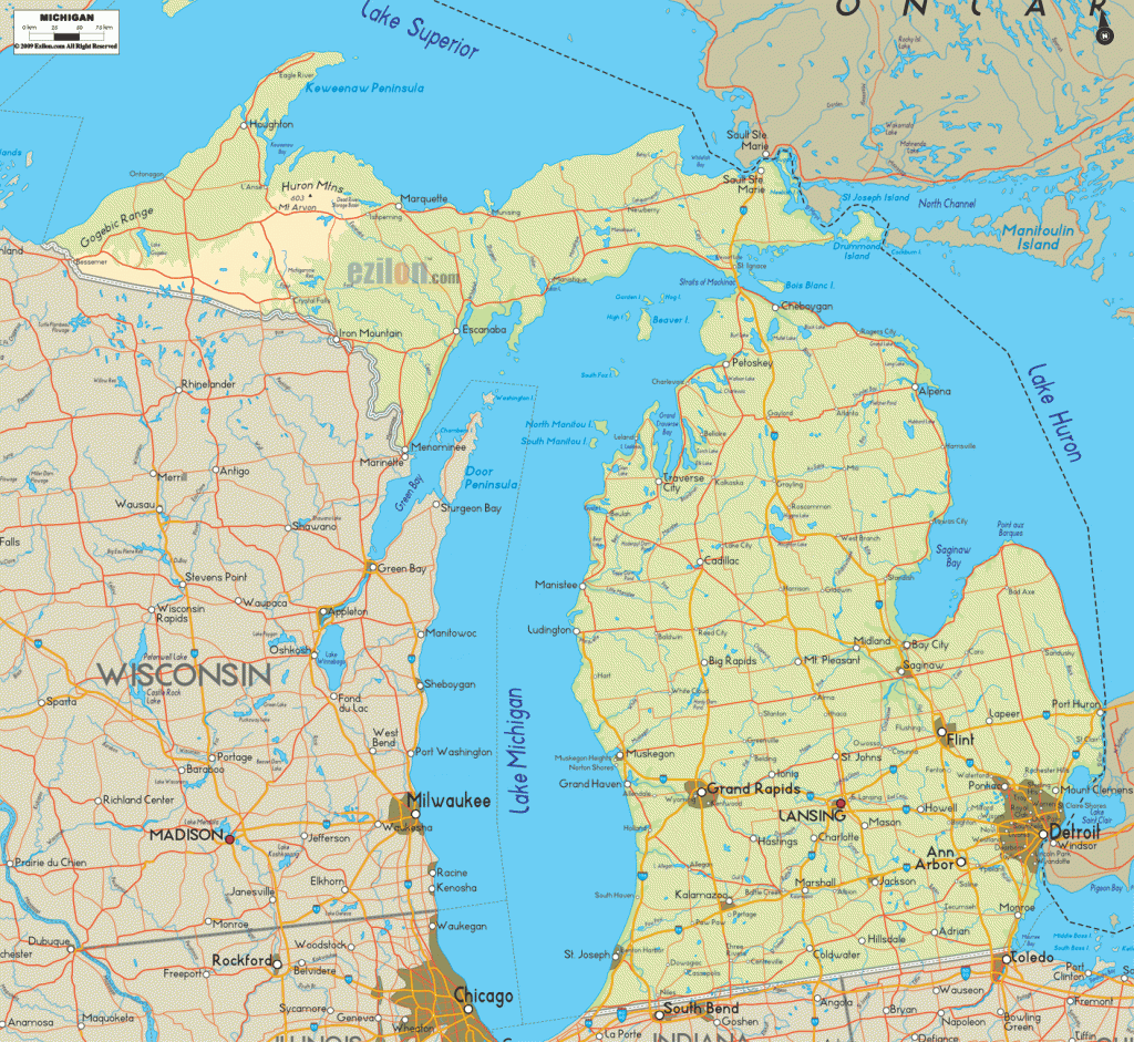
Michigan Map
HIAWATHA NATIONAL FOREST
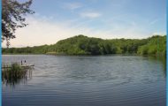
879,600 acres. Hiawatha National Forest consists of two large tracts in the central and eastern portions of Michigan’s Upper Peninsula, facing three of the Great Lakes, i Terrain includes hills, low ridges, some shallow canyons with rock outcrops and caves, plus swamps, sand dunes, and Lake Michigan beach. There are several rivers, a large number of lakes and streams, and six relatively small designated wilderness areas.
The region is forested with hardwoods, along with pine and hemlock, including some old-growth trees. Among the wildlife are black bear, white-tailed deer, bobcat, fox, and bald eagle.
Activities; Backpacking and hiking are available on over 150 miles of trails, including the 40-mile Bay De Noe-Grand Island Trail, and sections of the North Country Trail (see entry page 177). Difficulty ranges from easy to moderate.
Horseback riding is allowed on some trails, and about 70 miles of trails are designated for crosscountry skiing in winter. Canoeing is available on 41 miles of the Sturgeon River, along with several other rivers and on inland lakes. Fishing is also possible. Hunting is permitted in season.
Camping Regulations; There are some established campsites with fire rings. Camping and campfires are allowed elsewhere as well, except near public recreation areas or where otherwise prohibited. A permit is required for campsites at some lakes.
For Further Information: Hiawatha National Forest, 2727 North Lincoln Road, Escanaba, MI 19829; (906)786-4062.

