
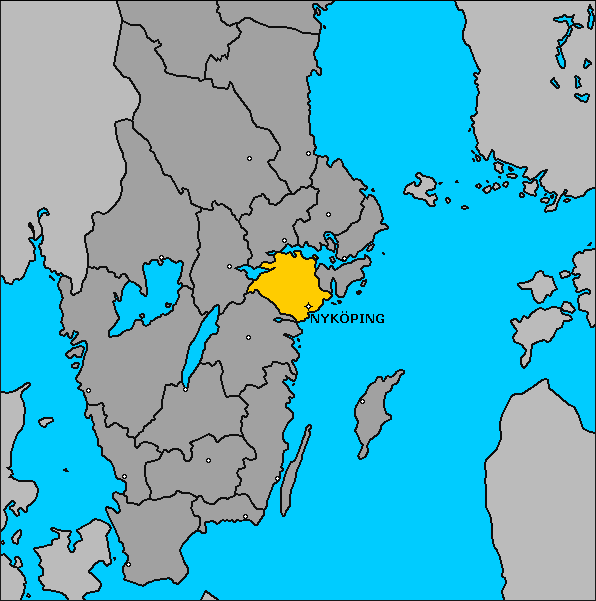
Province: Sodermanlands Ian.
Region: Sodermanland.
Altitude: sea level. Population: 35,000.
Postal code: S-61100. Telephone code: 01 55.
Stora Torget; tel. 8 12 74.
HOTELS. Nya Hotellet V. Storgatan 15A, 137 Esso Motor Hotel, Gumsbacken, 201 Excellent, Fruangsgatan 43, 1 5 Tuna Motell, 40 Ekeby, Bergshammar, 20 Viktoria, Fruangsgatan 21, 45 b.
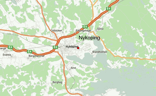
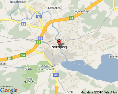
Nykoping, chief town of Sodermanland, lies on the Nykopingsa just above the point where it flows into the Baltic. In the Middle Ages it was one of the most important towns in Sweden, and between the 13th and 16th c. it was the meeting-place of the Riksdag (Parliament) on 15 occasions. It is now a busy industrial town manufacturing furniture, electric bulbs, motor vehicles, and other goods.
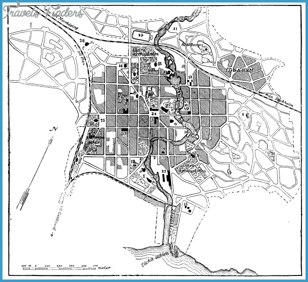
SIGHTS. In the main square, the Stora Torg, are the Town Hall (1720), the Governor’s Residence (1 803) and the old church of St Nicholas (rebuilt, 1 8th c.). A short distance S, by way of Slottsgatan (signposted), on the right bank of the NykopingsS, stands the massive castle of Nykopingshus, which probably dates from the time of the Folkung kings (burned down in 1665 and later partly restored). King Birger Jarl imprisoned his two brothers in the castle and starved them to death in 131 8. There survive the main gate, Vasaporten, and Duke Charles’s Tower or Kungstornet on the W side, in which a model of the castle is displayed (Sormland Museum). To the N W of the castle is the Museum of Art. AH Saints Church (Allhelgona Kyrka), in the SE part of the town was rebuilt in the 1 7th c.
SURROUNDINGS. Pleasant excursions tothe lakes N of the town (Yngaren, Langhalsen, Baven).
13 km (8 miles) SE (highway) is the port of Oxelosund (pop. 15,000; Ankaret Hotel, 188 Stiftsgcirden Starnholm, 75 b.), with a large steelworks and an interesting modern church (1 975). 28 km (1 8 miles) W, on the coast, is the Swedish atomic research plant of Studsvik.
7 km (4£ miles) along the Stockholm highway (motorway) is an exit (Road 223) leading to the large burial mound of Uppsa-Kulle (10 m (33 ft) high), 1 5 km (10 miles) N. 11 km (7 miles) farther N stands
Ludgo church, which has an altar by B. Precht and two 15th c. sculptures from Western Europe (French or Flemish). Another 20 km (12 miles) to the end of the motorway and 1 5 km (1 mile) along the ordinary road, turn right on to Road 218 to the Baltic seaside resort of Trosa, 6 km (4 miles) S (Stromsborg Hotel, 60 large fish-smoking plant). Another 3-5 km (2 miles) along the main road, a minor road goes off on the right (2 km (H miles); signpost) to the manor-house of Tullgarn (1719-28), a royal summer residence (beautiful park).
Nykoping Sweden Map Photo Gallery

