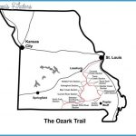
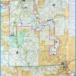
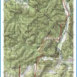
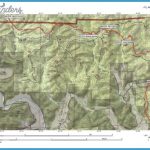
This partially completed trail will eventually extend 500 miles through Missouri’s Ozarks, starting near St. Louis and leading southwest to the Arkansas border. There’s also an eastern loop through the St. Francois Mountains. It will eventually be connected to the Ozark Highlands Trail of Arkansas.
About 200 miles are in Mark Twain National Forest, and some other sections are on private lands. Scenery along the way is often quite beautiful and wild. There are gratifying views from mountain ridges, and the trail crosses countless streams and follows several rivers. Difficulty ranges from easy to moderately strenuous. Portions of the trail are open to horses.
Camping Regulations: Camping is freely allowed along the trail on National Forest lands, except where posted otherwise. Campsites should be away from scenic spots and at least 100 feet from water sources and the trail. Campfires are legal but discouraged. Elsewhere along the trail camping and campfires are limited to designated sites. No permits are necessary.
For Further Information: Missouri Department of Natural Resources, Ozark Trail Coordinator, P.O. Box 176, Jefferson City, MO 65102; (314)751-2479.

