
Paseo Del Mar Bluffs
PALOS VERDES ESTATES SHORELINE PRESERVE
Hiking distance: 1.3 miles round trip Hiking time: 45 minutes Configuration: out-and-back Elevation gain: level Exposure: easy Difficulty: exposed coastline Dogs: allowed
Maps: U.S.G.S. Redondo Beach
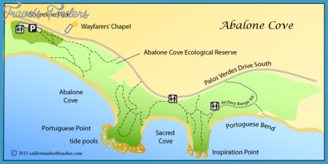
The Palos Verdes Estates Shoreline Preserve is a 130-acre undeveloped stretch of land running 4.5 miles along the southwest coast of the peninsula. The city-owned preserve includes scalloped blufftop parklands, footpaths that lead from the overlooks to the rocky shore, plus the adjacent submerged offshore land.
Palos Verdes Estates Shoreline Preserve Map Photo Gallery

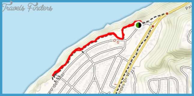
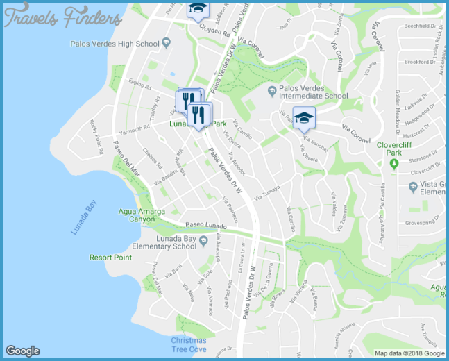
This hike follows the grassy oceanfront bluffs high above Bluff Cove (Hike 49), parallel to Paseo Del Mar. From the cliff’s edge are incredible views of Bluff Cove, Catalina Island, the Channel Islands, and the beach cities along Santa Monica Bay to Point Dume. It is also a great area to view migrating gray whales.
To the trailhead
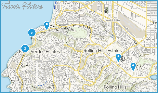
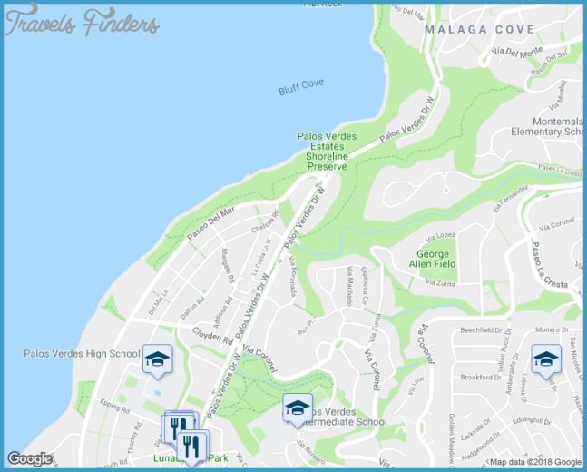
From the Pacific Coast Highway/Highway 1 at the south end of Redondo Beach, turn south on Palos Verdes Boulevard. Drive 1.5 miles and curve to the right onto Palos Verdes Drive West to the first stop sign at Via Corta. Continue straight ahead for 1.7 miles to a parking lot on the right, just before the Paseo Del Mar turnoff.
The hike
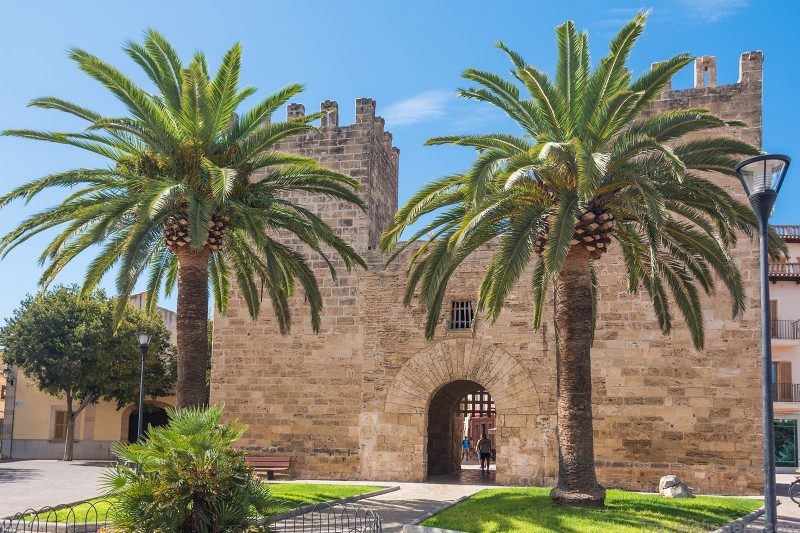
Take the grassy blufftop path from the south end of Bluff Cove. The parkland parallels the crenelated cliffs bordered by Paseo Del Mar. The level, cliff-top trail leaves the edge of the cliffs and curves inland, looping around a stream- carved gorge before returning to the cliffs. The meandering path ends at a row of palm trees adjacent to an oceanfront residence across from Cloy den Road. Return along the same route.

